Identify water body
using AI
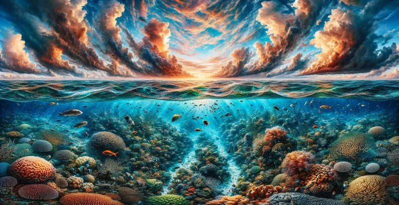
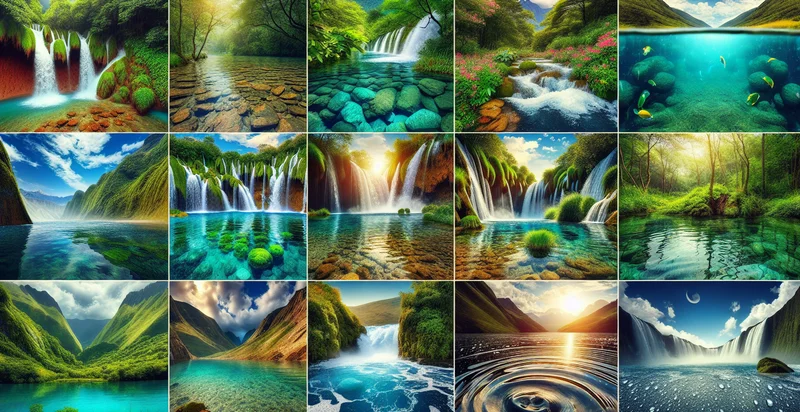
Below is a free classifier to identify water body. Just upload your image, and our AI will predict whether the image is of a lake, river, or ocean - in just seconds.
Create a free account to:
Get instant API credentials
Start calling the API immediately with your own keys
Track accuracy on your data
See real-time performance metrics and understand how well the model works for your specific use case
Discover better models for your data
Get recommendations for specialist models trained on your examples that are more accurate and cost-effective
Add this classifier to your console
Clone water body into your project — then invoke it, track accuracy on your own data, and improve it.
Clone to your console →How this classifier works
To start, upload your image. Our AI tool will then predict whether the image is of a lake, river, or ocean.
This pretrained image model uses a Nyckel-created dataset and has 3 labels, including Ocean and Lake.
We'll also show a confidence score (the higher the number, the more confident the AI model is around whether the image is of a lake, river, or ocean).
Whether you're just curious or building water body detection into your application, we hope our classifier proves helpful.
Related Classifiers
Need to identify water body at scale?
Get API or Zapier access to this classifier for free. It's perfect for:
- Real Estate Property Identification: Real estate companies can use this feature to identify and differentiate properties based on the type of water body they are adjacent to. This feature aids in property valuation and marketing strategies.
- Environmental Conservation: Conservation groups and environmental agencies can use image recognition to survey large geographic areas, identifying different water bodies to monitor environmental health, pollution levels or wildlife activity.
- Travel and Tourism: Travel agencies and tourism boards can utilise the function to single out attractions such as lakes, rivers, or ocean front destinations. The identified locations can be highlighted for tourists planning their itineraries.
- Geographic Research: Researchers can put this function to good use in building detailed geographic models or collecting data for scientific study. The feature can accurately classify water bodies in chosen study areas.
- Urban Planning: City planners and architects can use this function to better understand city landscapes when planning construction or development projects. Recognising water bodies can help manage flood risks and determine potential limits or opportunities for development.
- Insurance Industry: Insurance companies can use this feature to identify properties that are near water bodies. This information can influence their coverage policies for risks such as flooding.
- Satellite Imagery Analysis: Companies or agencies that work with satellite imagery could use this feature for automatic identification of large scale water bodies when processing large sets of imagery. This would allow for more efficient and accurate cataloguing of geographical information.