Identify urban density
using AI
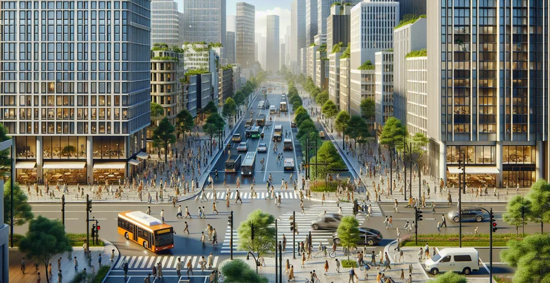
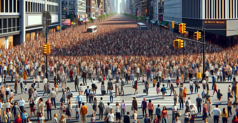
Below is a free classifier to identify urban density. Just upload your image, and our AI will predict the level of urban density in a given area. - in just seconds.
Contact us for API access
Or, use Nyckel to build highly-accurate custom classifiers in just minutes. No PhD required.
Get started
    import nyckel

    credentials = nyckel.Credentials("YOUR_CLIENT_ID", "YOUR_CLIENT_SECRET")
    nyckel.invoke("urban-density", "your_image_url", credentials)
    fetch('https://www.nyckel.com/v1/functions/urban-density/invoke', {
        method: 'POST',
        headers: {
            'Authorization': 'Bearer ' + 'YOUR_BEARER_TOKEN',
            'Content-Type': 'application/json',
        },
        body: JSON.stringify(
            {"data": "your_image_url"}
        )
    })
    .then(response => response.json())
    .then(data => console.log(data));
    curl -X POST \
        -H "Content-Type: application/json" \
        -H "Authorization: Bearer YOUR_BEARER_TOKEN" \
        -d '{"data": "your_image_url"}' \
        https://www.nyckel.com/v1/functions/urban-density/invoke
How this classifier works
To start, upload your image. Our AI tool will then predict the level of urban density in a given area..
This pretrained image model uses a Nyckel-created dataset and has 10 labels, including Crowded, Dense, High, Low, Medium, Minimal, Populated, Sparse, Ultra Dense and Very Dense.
We'll also show a confidence score (the higher the number, the more confident the AI model is around the level of urban density in a given area.).
Whether you're just curious or building urban density detection into your application, we hope our classifier proves helpful.
Related Classifiers


Need to identify urban density at scale?
Get API or Zapier access to this classifier for free. It's perfect for:
- Urban Planning Assessment: Urban planners can utilize the urban density identifier to analyze city landscapes and determine optimal areas for development and infrastructure improvement. By understanding density patterns, planners can assess the impact of new projects on traffic, utilities, and community services.
- Real Estate Market Analysis: Real estate investors and agents can leverage the urban density insights to identify high-potential investment areas. By recognizing trends in urban density, stakeholders can make informed decisions about property values and investment opportunities.
- Targeted Marketing Campaigns: Businesses can use urban density data to tailor marketing campaigns based on population density and demographics. This helps optimize advertising spending and improve the effectiveness of promotional strategies in urban areas.
- Resource Allocation for Emergency Services: Emergency service providers can employ urban density classification to strategically allocate resources. By identifying densely populated areas, they can ensure that emergency response teams are positioned effectively to reduce response times during crises.
- Environmental Impact Studies: Environmental scientists can use urban density classification to assess the ecological impact of urban development. Understanding urban density allows for better evaluations of land use, habitat fragmentation, and overall environmental health.
- Transportation Infrastructure Planning: Transportation agencies can utilize urban density data to design and improve public transit systems. By analyzing density patterns, agencies can better understand transportation demands and enhance connectivity in densely populated areas.
- Public Health Strategy Development: Public health officials can apply urban density indicators to target health interventions and resource allocation in high-density regions. This enables more effective strategies for addressing public health issues, such as disease outbreaks or access to healthcare services.