Identify unloading zones
using AI
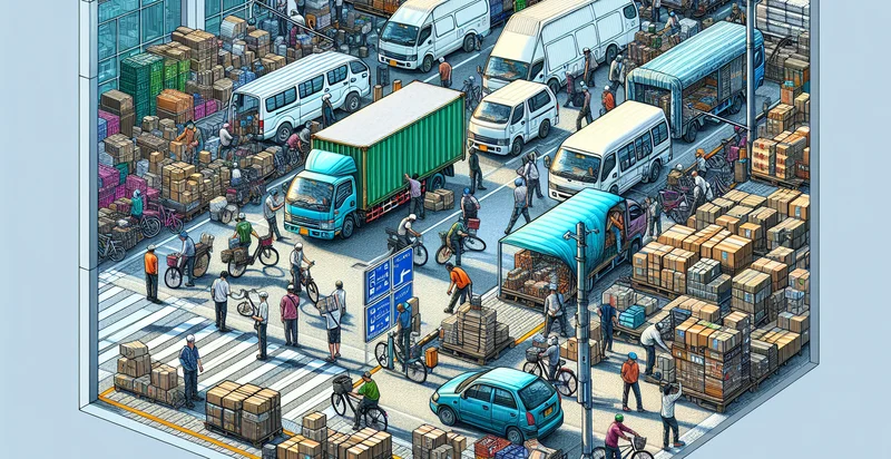
Below is a free classifier to identify unloading zones. Just upload your image, and our AI will predict the type of unloading zone present in the image. - in just seconds.

Contact us for API access
Or, use Nyckel to build highly-accurate custom classifiers in just minutes. No PhD required.
Get started
    import nyckel

    credentials = nyckel.Credentials("YOUR_CLIENT_ID", "YOUR_CLIENT_SECRET")
    nyckel.invoke("unloading-zones", "your_image_url", credentials)
    fetch('https://www.nyckel.com/v1/functions/unloading-zones/invoke', {
        method: 'POST',
        headers: {
            'Authorization': 'Bearer ' + 'YOUR_BEARER_TOKEN',
            'Content-Type': 'application/json',
        },
        body: JSON.stringify(
            {"data": "your_image_url"}
        )
    })
    .then(response => response.json())
    .then(data => console.log(data));
    curl -X POST \
        -H "Content-Type: application/json" \
        -H "Authorization: Bearer YOUR_BEARER_TOKEN" \
        -d '{"data": "your_image_url"}' \
        https://www.nyckel.com/v1/functions/unloading-zones/invoke
How this classifier works
To start, upload your image. Our AI tool will then predict the type of unloading zone present in the image..
This pretrained image model uses a Nyckel-created dataset and has 15 labels, including Commercial Unloading Zones, Curbside Unloading Zones, Dedicated Unloading Zones, Designated Areas, Emergency Unloading Zones, Loading Docks, Loading Zones, No Parking Zones, Public Unloading Areas and Residential Unloading Zones.
We'll also show a confidence score (the higher the number, the more confident the AI model is around the type of unloading zone present in the image.).
Whether you're just curious or building unloading zones detection into your application, we hope our classifier proves helpful.
Related Classifiers
Need to identify unloading zones at scale?
Get API or Zapier access to this classifier for free. It's perfect for:
- Delivery Compliance Monitoring: This use case involves monitoring unloading zones to ensure that delivery vehicles are only parking in designated areas. The false image classification function can help logistics companies optimize their operations by identifying unauthorized parking and generating alerts for quick resolution.
- Urban Planning and Development: City planners can use the unloading zones identifier to analyze how designated unloading areas are utilized. By identifying patterns of unauthorized usage, planners can make informed decisions about traffic management, zoning regulations, and the design of future unloading zones.
- Inspection and Enforcement: Municipal enforcement agencies can leverage this function to streamline the monitoring of compliance with unloading zone regulations. The system can automatically flag violations, allowing inspectors to focus their resources on areas with high rates of non-compliance.
- Retail Logistics Optimization: Retail businesses can utilize the unloading zones identifier to manage their supply chain more effectively. By monitoring unloading zone usage, they can ensure that deliveries occur efficiently, minimizing delays caused by blocked or improperly used areas.
- Smart City Infrastructure: In a smart city context, this function can be integrated into a broader traffic management system to optimize loading and unloading activity across urban environments. Real-time data on unloading zone usage can inform traffic signals, signage, and incident response units.
- Parking Management Solutions: Parking management companies can deploy this technology to enhance their enforcement capabilities. By accurately identifying unloading zones being misused, they can implement better strategies to manage urban parking spaces and mitigate congestion.
- Environmental Impact Assessment: The unloading zones identifier could play a critical role in assessing the environmental impact of logistics operations within urban areas. By identifying unauthorized unloading activities, stakeholders can evaluate pollution levels and propose more sustainable loading practices.


