Identify space for public gatherings
using AI
Below is a free classifier to identify space for public gatherings. Just upload your image, and our AI will predict if the space is suitable for public gatherings - in just seconds.

Contact us for API access
Or, use Nyckel to build highly-accurate custom classifiers in just minutes. No PhD required.
Get started
    import nyckel

    credentials = nyckel.Credentials("YOUR_CLIENT_ID", "YOUR_CLIENT_SECRET")
    nyckel.invoke("space-for-public-gatherings", "your_image_url", credentials)
    fetch('https://www.nyckel.com/v1/functions/space-for-public-gatherings/invoke', {
        method: 'POST',
        headers: {
            'Authorization': 'Bearer ' + 'YOUR_BEARER_TOKEN',
            'Content-Type': 'application/json',
        },
        body: JSON.stringify(
            {"data": "your_image_url"}
        )
    })
    .then(response => response.json())
    .then(data => console.log(data));
    curl -X POST \
        -H "Content-Type: application/json" \
        -H "Authorization: Bearer YOUR_BEARER_TOKEN" \
        -d '{"data": "your_image_url"}' \
        https://www.nyckel.com/v1/functions/space-for-public-gatherings/invoke
How this classifier works
To start, upload your image. Our AI tool will then predict if the space is suitable for public gatherings.
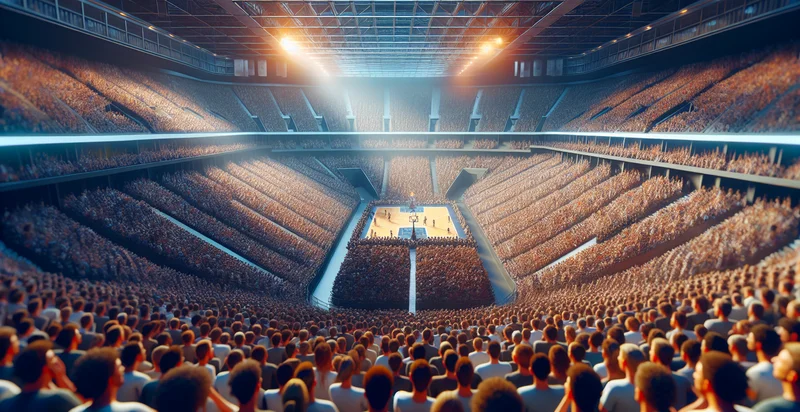
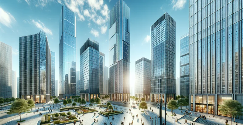
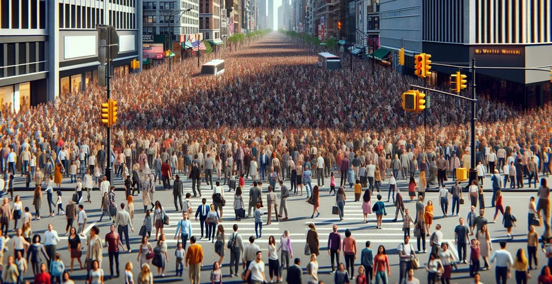
This pretrained image model uses a Nyckel-created dataset and has 2 labels, including Indoor Gatherings and Outdoor Gatherings.
We'll also show a confidence score (the higher the number, the more confident the AI model is around if the space is suitable for public gatherings).
Whether you're just curious or building space for public gatherings detection into your application, we hope our classifier proves helpful.
Related Classifiers
Need to identify space for public gatherings at scale?
Get API or Zapier access to this classifier for free. It's perfect for:
- Event Planning Optimization: The space for public gatherings identifier can be utilized by event planners to quickly evaluate suitable venues based on the type and size of the gathering. By analyzing images of potential spaces, planners can make informed decisions on area suitability, amenities, and layout configurations.
- Urban Development Assessment: City planners can use this classification function to assess public spaces and their readiness for community events. By identifying underutilized or suitable areas, they can promote community engagement and enhance urban living through effective space utilization.
- Public Safety Evaluation: Law enforcement agencies can deploy this function to identify spaces that may need enhanced security measures during large gatherings. By analyzing images, they can better plan for crowd control, emergency access, and overall safety protocols.
- Community Engagement Surveys: Nonprofit organizations can leverage the identifier to gather data on public spaces more frequently used for community gatherings. This insight can help them tailor programs and outreach efforts to activate under-utilized venues.
- Marketing Insights for Local Businesses: Local businesses can utilize the space identification function to pinpoint popular gathering spots for targeted marketing campaigns. By understanding where potential customers congregate, they can craft promotional strategies that better resonate with the community.
- Environmental Monitoring: Environmental agencies can use this classification tool to monitor public gathering spaces for ecological sustainability. By analyzing the impact of gatherings on local ecosystems, they can implement strategies to promote responsible use and management of these areas.
- Disaster Response Preparedness: Emergency management teams can apply the space identification function to assess public gathering areas for their suitability as emergency shelters. By determining which spaces can accommodate people and resources during a crisis, they can enhance community readiness and response effectiveness.


