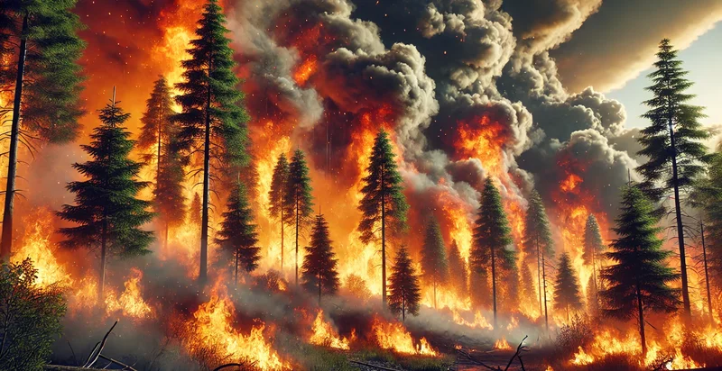
Identify smoke vs clouds
using AI
Below is a free classifier to identify smoke vs clouds. Just upload your image, and our AI will predict if it is smoke, a cloud, or neither - in just seconds.

Contact us for API access
Or, use Nyckel to build highly-accurate custom classifiers in just minutes. No PhD required.
Get started
    import nyckel

    credentials = nyckel.Credentials("YOUR_CLIENT_ID", "YOUR_CLIENT_SECRET")
    nyckel.invoke("smoke-vs-clouds-identifier", "your_image_url", credentials)
    fetch('https://www.nyckel.com/v1/functions/smoke-vs-clouds-identifier/invoke', {
        method: 'POST',
        headers: {
            'Authorization': 'Bearer ' + 'YOUR_BEARER_TOKEN',
            'Content-Type': 'application/json',
        },
        body: JSON.stringify(
            {"data": "your_image_url"}
        )
    })
    .then(response => response.json())
    .then(data => console.log(data));
    curl -X POST \
        -H "Content-Type: application/json" \
        -H "Authorization: Bearer YOUR_BEARER_TOKEN" \
        -d '{"data": "your_image_url"}' \
        https://www.nyckel.com/v1/functions/smoke-vs-clouds-identifier/invoke
How this classifier works
To start, upload your image. Our AI tool will then predict if it is smoke, a cloud, or neither.
This pretrained image model uses the Open Wildfire Smoke dataset dataset and has 3 labels, including Clouds, Smoke, Neither.
We'll also show a confidence score (the higher the number, the more confident the AI model is around if it is smoke, a cloud, or neither).
Whether you're just curious or building smoke vs clouds detection into your application, we hope our classifier proves helpful.
Related Classifiers
Need to identify smoke vs clouds at scale?
Get API or Zapier access to this classifier for free. It's perfect for:
- Weather Forecasting: Analyze real-time images to improve short-term weather predictions. Differentiate between cloud types for more accurate forecasts.
- Environmental Monitoring: Detect and track smoke plumes from wildfires or industrial sources. Alert authorities to potential air quality issues in affected areas.
- Drone Operations: Determine safe flying conditions for commercial and recreational drones. Adjust flight paths based on cloud cover or smoke presence.
- Photography: Suggest optimal times for outdoor photoshoots based on sky conditions. Offer creative ideas for capturing unique cloud or smoke formations.
- Firefighting Services: Identify the location and spread of wildfires through smoke detection. Coordinate response efforts based on smoke density and movement.
- Outdoor Event Planning: Assess sky conditions for open-air events and activities. Make informed decisions about event scheduling or relocation.
- Solar Energy Management: Predict solar panel efficiency based on cloud cover analysis. Optimize energy production by adjusting systems according to sky conditions.


