Identify smart city features
using AI
Below is a free classifier to identify smart city features. Just upload your image, and our AI will predict the presence of various smart city features - in just seconds.

Contact us for API access
Or, use Nyckel to build highly-accurate custom classifiers in just minutes. No PhD required.
Get started
    import nyckel

    credentials = nyckel.Credentials("YOUR_CLIENT_ID", "YOUR_CLIENT_SECRET")
    nyckel.invoke("smart-city-features", "your_image_url", credentials)
    fetch('https://www.nyckel.com/v1/functions/smart-city-features/invoke', {
        method: 'POST',
        headers: {
            'Authorization': 'Bearer ' + 'YOUR_BEARER_TOKEN',
            'Content-Type': 'application/json',
        },
        body: JSON.stringify(
            {"data": "your_image_url"}
        )
    })
    .then(response => response.json())
    .then(data => console.log(data));
    curl -X POST \
        -H "Content-Type: application/json" \
        -H "Authorization: Bearer YOUR_BEARER_TOKEN" \
        -d '{"data": "your_image_url"}' \
        https://www.nyckel.com/v1/functions/smart-city-features/invoke
How this classifier works
To start, upload your image. Our AI tool will then predict the presence of various smart city features.
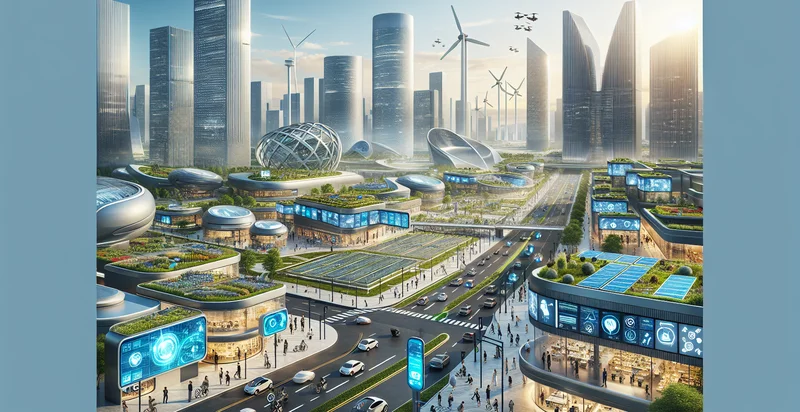
This pretrained image model uses a Nyckel-created dataset and has 16 labels, including Advanced Telecommunication Networks, Connected Infrastructure, Digital Signage, Environmental Monitoring, Iot Devices, Smart Building Technologies, Smart Energy Systems, Smart Grid Technology, Smart Lighting and Smart Parking Solutions.
We'll also show a confidence score (the higher the number, the more confident the AI model is around the presence of various smart city features).
Whether you're just curious or building smart city features detection into your application, we hope our classifier proves helpful.
Related Classifiers
Need to identify smart city features at scale?
Get API or Zapier access to this classifier for free. It's perfect for:
- Urban Infrastructure Monitoring: This function can be utilized to monitor the integrity and safety of urban infrastructure, such as bridges and buildings, by classifying images of structural elements. Identifying potential issues early helps prevent failures and reduces maintenance costs, ensuring a safer urban environment.
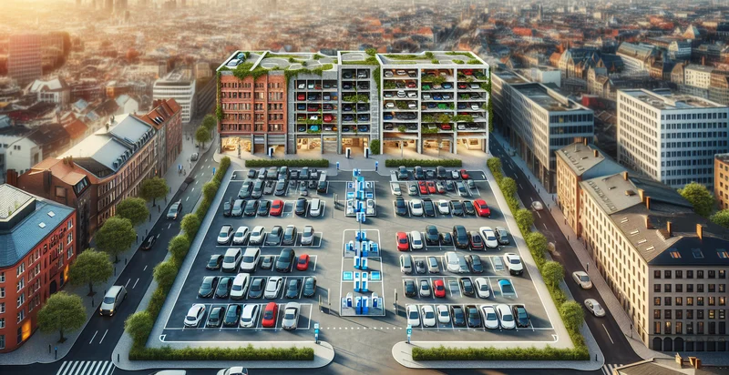
- Smart Parking Management: The image classification function can identify available parking spaces and analyze parking patterns in real-time. This data can be integrated into smart city applications to help drivers find parking more efficiently, thus reducing congestion and emissions.
- Traffic Flow Optimization: By classifying images from intersection cameras, this function can analyze vehicle and pedestrian traffic patterns. Insights gained can be used to adjust traffic light timings and redirect traffic during peak periods, improving overall flow and reducing delays.
- Waste Management Enhancement: This feature can classify images of waste bins to monitor their fill levels and identify contaminants. This data aids in optimizing collection routes and schedules, thus improving waste management efficiency and promoting recycling efforts.
- Public Safety Surveillance: The image classification function can help law enforcement by identifying suspicious activities or unauthorized individuals in public spaces through surveillance footage. By processing images in real-time, it enhances response times and overall safety in urban areas.
- Green Space Evaluation: This function can analyze images of parks and green spaces to assess their condition and usage rates. By classifying vegetation health and user activity, city planners can make data-driven decisions to enhance urban greenery and promote community well-being.
- Emergency Response Coordination: During emergencies, this classification function can analyze visual data from drones or cameras to assess the impact of disasters. By quickly identifying damaged areas and resource needs, it facilitates efficient coordination among emergency services and quicker recovery efforts.


