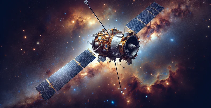
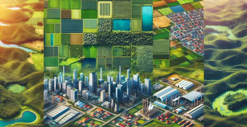
Identify satellite type
using AI
Below is a free classifier to identify satellite type. Just upload your image, and our AI will predict the type of satellite in the image. - in just seconds.

Contact us for API access
Or, use Nyckel to build highly-accurate custom classifiers in just minutes. No PhD required.
Get started
    import nyckel

    credentials = nyckel.Credentials("YOUR_CLIENT_ID", "YOUR_CLIENT_SECRET")
    nyckel.invoke("satellite-type", "your_image_url", credentials)
    fetch('https://www.nyckel.com/v1/functions/satellite-type/invoke', {
        method: 'POST',
        headers: {
            'Authorization': 'Bearer ' + 'YOUR_BEARER_TOKEN',
            'Content-Type': 'application/json',
        },
        body: JSON.stringify(
            {"data": "your_image_url"}
        )
    })
    .then(response => response.json())
    .then(data => console.log(data));
    curl -X POST \
        -H "Content-Type: application/json" \
        -H "Authorization: Bearer YOUR_BEARER_TOKEN" \
        -d '{"data": "your_image_url"}' \
        https://www.nyckel.com/v1/functions/satellite-type/invoke
How this classifier works
To start, upload your image. Our AI tool will then predict the type of satellite in the image..
This pretrained image model uses a Nyckel-created dataset and has 15 labels, including Broadcast, Communication, Earth Observation, Environmental Monitoring, Experimental, Global Position, Mapping, Military, Navigation and Reconnaissance.
We'll also show a confidence score (the higher the number, the more confident the AI model is around the type of satellite in the image.).
Whether you're just curious or building satellite type detection into your application, we hope our classifier proves helpful.
Related Classifiers
Need to identify satellite type at scale?
Get API or Zapier access to this classifier for free. It's perfect for:
- Land Use Monitoring: This function can classify satellite images to determine land use types, such as urban, agricultural, or forested areas. This information is valuable for urban planners, environmentalists, and agricultural sectors to assess land distribution and make informed decisions regarding resource allocation.
- Disaster Management: The satellite type identifier can be used to detect changes in land or infrastructure following natural disasters like floods or hurricanes. By identifying affected areas quickly, emergency response teams can prioritize relief efforts and allocate resources more effectively.
- Environmental Surveillance: Organizations focused on climate change can leverage this function to identify and monitor satellite types related to pollution sources, forest cover, or land degradation. Continuous monitoring can help assess environmental impact and inform conservation strategies.
- Agricultural Yield Prediction: By classifying satellite images of cropland, this function can assist farmers and agronomists in predicting crop yields based on current land conditions and types. This predictive analysis can lead to better planning and improved agricultural practices.
- Transportation Logistics: Logistic companies can use the satellite type identifier to analyze road networks and transportation infrastructure from satellite images. This enables them to optimize routes, manage fleet operations, and effectively plan for traffic conditions based on real-time satellite data.
- Urban Development Assessment: City planners can utilize this function to assess the distribution and types of existing infrastructure in urban areas. By understanding the satellite imagery classifications, they can make strategic decisions about future developments and infrastructure improvements.
- Wildlife Habitat Evaluation: Conservation groups can use satellite type identification to monitor wildlife habitats and their changes over time. By understanding the distribution of forested, wetland, and other types of land cover, they can tailor conservation efforts and evaluate the effectiveness of protective measures.


