Identify satellite platform
using AI
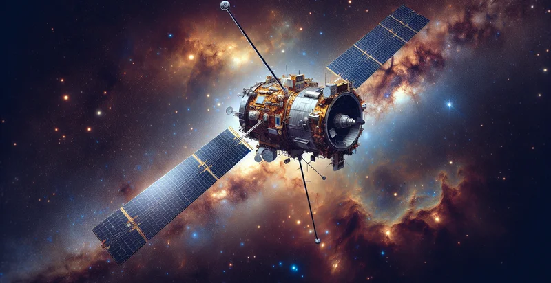
Below is a free classifier to identify satellite platform. Just upload your image, and our AI will predict what type of satellite is present in the image - in just seconds.

Contact us for API access
Or, use Nyckel to build highly-accurate custom classifiers in just minutes. No PhD required.
Get started
    import nyckel

    credentials = nyckel.Credentials("YOUR_CLIENT_ID", "YOUR_CLIENT_SECRET")
    nyckel.invoke("satellite-platform", "your_image_url", credentials)
    fetch('https://www.nyckel.com/v1/functions/satellite-platform/invoke', {
        method: 'POST',
        headers: {
            'Authorization': 'Bearer ' + 'YOUR_BEARER_TOKEN',
            'Content-Type': 'application/json',
        },
        body: JSON.stringify(
            {"data": "your_image_url"}
        )
    })
    .then(response => response.json())
    .then(data => console.log(data));
    curl -X POST \
        -H "Content-Type: application/json" \
        -H "Authorization: Bearer YOUR_BEARER_TOKEN" \
        -d '{"data": "your_image_url"}' \
        https://www.nyckel.com/v1/functions/satellite-platform/invoke
How this classifier works
To start, upload your image. Our AI tool will then predict what type of satellite is present in the image.
This pretrained image model uses a Nyckel-created dataset and has 20 labels, including Aquarius, Cloudsat, Dragon, Globalstar, Goes, Grace, Himawari, Ikonos, Landsat and Nimbus.
We'll also show a confidence score (the higher the number, the more confident the AI model is around what type of satellite is present in the image).
Whether you're just curious or building satellite platform detection into your application, we hope our classifier proves helpful.
Related Classifiers
Need to identify satellite platform at scale?
Get API or Zapier access to this classifier for free. It's perfect for:
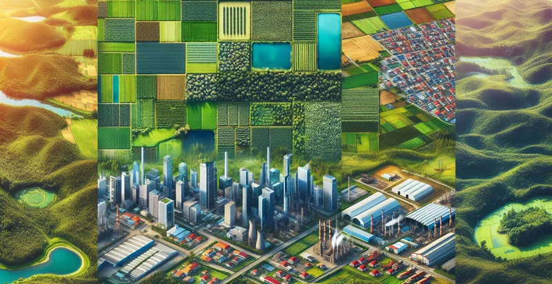
- Agricultural Monitoring: The satellite platform identifier can be used to differentiate between genuine agricultural land and false images, such as clouds or urban areas. This aids farmers and agricultural businesses in accurately assessing crop conditions, optimizing resource allocation, and enhancing yield predictions.
- Urban Planning: City planners can utilize the satellite platform identifier to filter out misleading aerial images that do not reflect actual land use. By ensuring that only authentic data is analyzed, planners can make better decisions regarding zoning laws, infrastructure development, and resource management.
- Disaster Response: During natural disasters, it's crucial to identify impacted areas accurately. The satellite platform identifier can eliminate false images caused by wind or haze, enabling emergency services to focus their efforts on areas requiring immediate assistance and improving the effectiveness of rescue operations.
- Environmental Monitoring: Environmental scientists can leverage the satellite platform identifier to discern between real ecological changes (like deforestation or water bodies) and erroneous data. This ensures more reliable datasets for research on climate change, biodiversity conservation, and urban sprawl.
- Mining and Resource Exploration: Mining companies can apply the satellite platform identifier to accurately analyze land use and resource locations, avoiding confusion from irrelevant images. This leads to higher efficiency in exploration and reduces costly miscalculations in site assessments.
- Insurance Risk Assessment: Insurance companies can use the satellite platform identifier to avoid processing inaccurate or misleading images when assessing property risks. By confirming the authenticity of satellite imagery, they can better evaluate claims and understand the risk profiles of insured areas.
- Maritime Surveillance: The satellite platform identifier can assist in maritime operations by distinguishing genuine vessel movements from false signals caused by environmental factors. This functionality enhances the monitoring of illegal activities such as smuggling or unauthorized fishing, contributing to safer seas.


