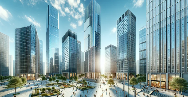
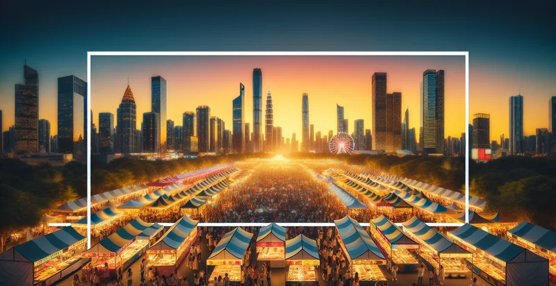
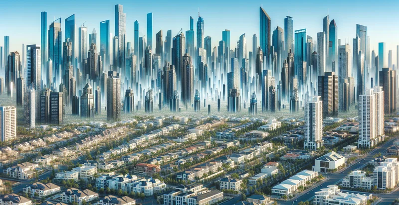
Identify public spaces in skyline areas
using AI
Below is a free classifier to identify public spaces in skyline areas. Just upload your image, and our AI will predict if the area is classified as a public space or not - in just seconds.

Contact us for API access
Or, use Nyckel to build highly-accurate custom classifiers in just minutes. No PhD required.
Get started
    import nyckel

    credentials = nyckel.Credentials("YOUR_CLIENT_ID", "YOUR_CLIENT_SECRET")
    nyckel.invoke("public-spaces-in-skyline-areas", "your_image_url", credentials)
    fetch('https://www.nyckel.com/v1/functions/public-spaces-in-skyline-areas/invoke', {
        method: 'POST',
        headers: {
            'Authorization': 'Bearer ' + 'YOUR_BEARER_TOKEN',
            'Content-Type': 'application/json',
        },
        body: JSON.stringify(
            {"data": "your_image_url"}
        )
    })
    .then(response => response.json())
    .then(data => console.log(data));
    curl -X POST \
        -H "Content-Type: application/json" \
        -H "Authorization: Bearer YOUR_BEARER_TOKEN" \
        -d '{"data": "your_image_url"}' \
        https://www.nyckel.com/v1/functions/public-spaces-in-skyline-areas/invoke
How this classifier works
To start, upload your image. Our AI tool will then predict if the area is classified as a public space or not.
This pretrained image model uses a Nyckel-created dataset and has 2 labels, including Park and Roof Garden.
We'll also show a confidence score (the higher the number, the more confident the AI model is around if the area is classified as a public space or not).
Whether you're just curious or building public spaces in skyline areas detection into your application, we hope our classifier proves helpful.
Related Classifiers
Need to identify public spaces in skyline areas at scale?
Get API or Zapier access to this classifier for free. It's perfect for:
- Urban Planning Enhancements: This function can help urban planners identify and analyze public spaces in skyline areas to enhance city designs. By classifying these spaces, planners can make informed decisions about future developments and improvements in public accessibility and community needs.
- Tourism Development: Tourism boards can utilize this classification function to identify popular public spaces that can be promoted to attract visitors. By understanding which areas have significant recreational or cultural value, they can develop targeted marketing strategies to enhance tourist experiences.
- Environmental Monitoring: Environmental agencies can use the image classification to monitor public spaces in urban landscapes, assessing vegetation cover and open spaces. This data can assist in ensuring sustainable development practices are followed and can inform policies aimed at improving air quality and urban green spaces.
- Emergency Response Planning: Emergency response teams can leverage this function to map out public spaces in skyline areas for efficient evacuation and response plans during crises. By understanding urban layouts, responders can develop strategies to protect populations in these areas more effectively.
- Social Research and Community Development: Social researchers can analyze the classified public spaces to study community interactions and behaviors in urban environments. This data can lead to insights into how public spaces affect social cohesion and quality of life, guiding community development initiatives.
- Real Estate Development: Real estate developers can use the classification results to identify valuable public spaces that enhance property value in skyline areas. Knowledge of nearby recreational or cultural spaces can inform strategic investment decisions and urban development projects.
- Smart City Applications: City administrators can input this classification data into smart city applications to facilitate public service management. By understanding the locations and characteristics of public spaces, municipalities can optimize services like waste management, lighting, and maintenance schedules.


