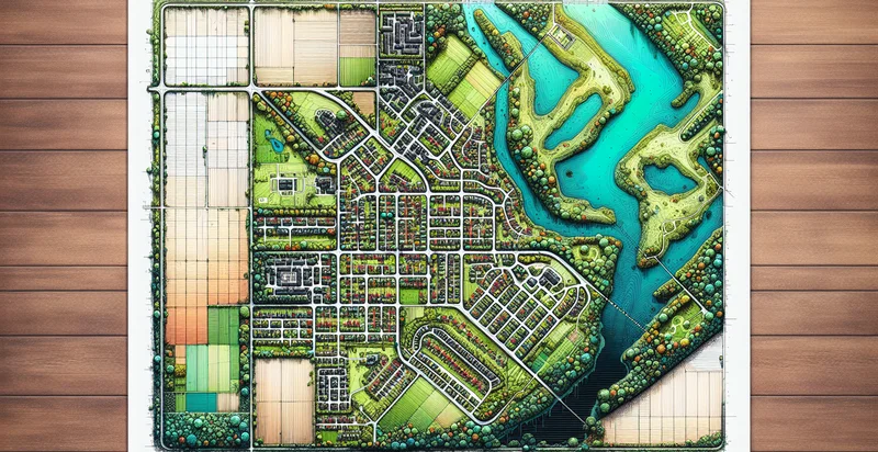
Identify property map clarity
using AI
Below is a free classifier to identify property map clarity. Just upload your image, and our AI will predict the level of clarity for each property type. - in just seconds.

Contact us for API access
Or, use Nyckel to build highly-accurate custom classifiers in just minutes. No PhD required.
Get started
    import nyckel

    credentials = nyckel.Credentials("YOUR_CLIENT_ID", "YOUR_CLIENT_SECRET")
    nyckel.invoke("property-map-clarity", "your_image_url", credentials)
    fetch('https://www.nyckel.com/v1/functions/property-map-clarity/invoke', {
        method: 'POST',
        headers: {
            'Authorization': 'Bearer ' + 'YOUR_BEARER_TOKEN',
            'Content-Type': 'application/json',
        },
        body: JSON.stringify(
            {"data": "your_image_url"}
        )
    })
    .then(response => response.json())
    .then(data => console.log(data));
    curl -X POST \
        -H "Content-Type: application/json" \
        -H "Authorization: Bearer YOUR_BEARER_TOKEN" \
        -d '{"data": "your_image_url"}' \
        https://www.nyckel.com/v1/functions/property-map-clarity/invoke
How this classifier works
To start, upload your image. Our AI tool will then predict the level of clarity for each property type..
This pretrained image model uses a Nyckel-created dataset and has 14 labels, including Blurry, Clear, Detailed, Faded, High Resolution, Low Resolution, Medium Resolution, Partially Detailed, Sharp and Slightly Clear.
We'll also show a confidence score (the higher the number, the more confident the AI model is around the level of clarity for each property type.).
Whether you're just curious or building property map clarity detection into your application, we hope our classifier proves helpful.
Related Classifiers
Need to identify property map clarity at scale?
Get API or Zapier access to this classifier for free. It's perfect for:
- Real Estate Investment Analysis: Investors can utilize the 'property map clarity' identifier to assess the quality of property maps associated with potential investment opportunities. This can help in identifying areas with clear and precise geographical data, ensuring better-informed decisions regarding property value and potential revenue.
- Urban Planning and Development: City planners can employ this function to evaluate existing property maps for clarity and accuracy, facilitating more effective urban development strategies. Improved clarity in property maps can lead to better zoning decisions, infrastructure planning, and resource allocation.
- Environmental Impact Assessments: Environmental consultants can use the identifier to ensure that property maps used in assessments are clear and precise. This is crucial for accurately evaluating the potential impacts of development on the environment and ensuring compliance with regulations.
- Insurance Underwriting: Insurance companies can leverage the 'property map clarity' identifier to assess the quality of maps used in underwriting property insurance policies. High clarity helps insurers accurately ascertain property boundaries and assess risk levels associated with claims.
- GIS Data Quality Control: Geographic Information System (GIS) professionals can use the function to maintain and improve the quality of property map databases. By identifying unclear or inaccurate maps, they can take steps to rectify data inconsistencies, enhancing overall data integrity.
- Property Disputes Resolution: Legal professionals can utilize the 'property map clarity' identifier during property dispute cases to ensure that the maps presented as evidence are clear and reliable. This can significantly aid in resolving boundary disputes or claims regarding property ownership.
- Smart City Initiatives: Municipalities pursuing smart city projects can use this identifier to analyze the clarity of property maps as part of data integration efforts. Clear and precise maps are essential for effective data analytics, which can enhance public services and enable better citizen engagement.


