Identify plant habitat type
using AI
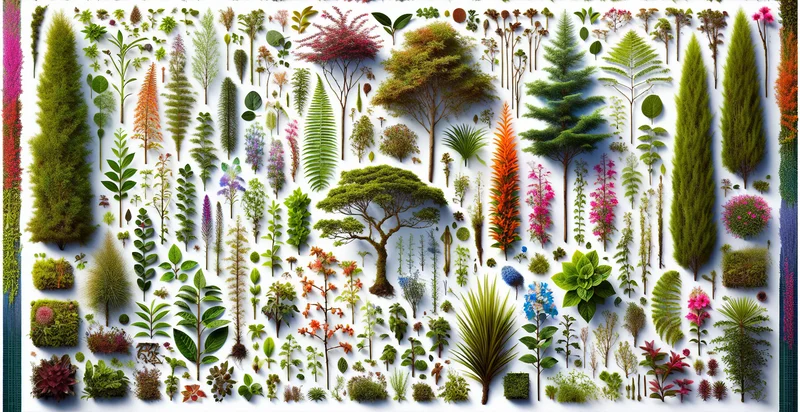
Below is a free classifier to identify plant habitat type. Just upload your image, and our AI will predict the type of habitat where a plant is found - in just seconds.

Contact us for API access
Or, use Nyckel to build highly-accurate custom classifiers in just minutes. No PhD required.
Get started
    import nyckel

    credentials = nyckel.Credentials("YOUR_CLIENT_ID", "YOUR_CLIENT_SECRET")
    nyckel.invoke("plant-habitat-type", "your_image_url", credentials)
    fetch('https://www.nyckel.com/v1/functions/plant-habitat-type/invoke', {
        method: 'POST',
        headers: {
            'Authorization': 'Bearer ' + 'YOUR_BEARER_TOKEN',
            'Content-Type': 'application/json',
        },
        body: JSON.stringify(
            {"data": "your_image_url"}
        )
    })
    .then(response => response.json())
    .then(data => console.log(data));
    curl -X POST \
        -H "Content-Type: application/json" \
        -H "Authorization: Bearer YOUR_BEARER_TOKEN" \
        -d '{"data": "your_image_url"}' \
        https://www.nyckel.com/v1/functions/plant-habitat-type/invoke
How this classifier works
To start, upload your image. Our AI tool will then predict the type of habitat where a plant is found.
This pretrained image model uses a Nyckel-created dataset and has 15 labels, including Alpine Regions, Coastal Areas, Deserts, Forests, Grasslands, Marshes, Meadows, Prairies, Riparian Zones and Rocky Outcrops.
We'll also show a confidence score (the higher the number, the more confident the AI model is around the type of habitat where a plant is found).
Whether you're just curious or building plant habitat type detection into your application, we hope our classifier proves helpful.
Related Classifiers


Need to identify plant habitat type at scale?
Get API or Zapier access to this classifier for free. It's perfect for:
- Ecological Research Support: Researchers can utilize the plant habitat type identifier to classify and analyze different plant species in their natural environments. This function aids in understanding species distribution and habitat preferences, thus enhancing ecological studies.
- Biodiversity Conservation: Conservation organizations can deploy this classification function to identify critical habitats that need protection. By recognizing plant habitats, they can effectively allocate resources and develop targeted conservation strategies.
- Agricultural Planning: Farmers and agricultural specialists can use the identifier to optimize crop selection based on the native plant habitat types in their regions. This ensures better crop yields and sustainable farming practices tailored to local ecosystems.
- Urban Development Planning: Urban planners can leverage the plant habitat type identifier to make informed decisions when designing green spaces. By understanding existing habitats, they can help preserve biodiversity while integrating natural features into urban designs.
- Environmental Impact Assessments: Companies conducting impact assessments for development projects can utilize this function to evaluate potential effects on local plant habitats. This data enables them to comply with environmental regulations and minimize ecological damage.
- Tourism and Recreation Management: Tourism agencies can use the identifier to promote eco-tourism by highlighting areas rich in diverse plant habitats. This not only enhances visitor experiences but also fosters awareness and conservation of local ecosystems.
- Climate Change Studies: Environmental scientists can employ this classification tool to monitor shifts in plant habitats due to climate change. By analyzing changes over time, researchers can better predict ecological responses and inform climate adaptation strategies.