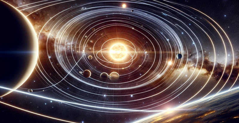
Identify orbital paths
using AI
Below is a free classifier to identify orbital paths. Just upload your image, and our AI will predict what celestial body it is in relation to its orbital path - in just seconds.

Contact us for API access
Or, use Nyckel to build highly-accurate custom classifiers in just minutes. No PhD required.
Get started
    import nyckel

    credentials = nyckel.Credentials("YOUR_CLIENT_ID", "YOUR_CLIENT_SECRET")
    nyckel.invoke("orbital-paths", "your_image_url", credentials)
    fetch('https://www.nyckel.com/v1/functions/orbital-paths/invoke', {
        method: 'POST',
        headers: {
            'Authorization': 'Bearer ' + 'YOUR_BEARER_TOKEN',
            'Content-Type': 'application/json',
        },
        body: JSON.stringify(
            {"data": "your_image_url"}
        )
    })
    .then(response => response.json())
    .then(data => console.log(data));
    curl -X POST \
        -H "Content-Type: application/json" \
        -H "Authorization: Bearer YOUR_BEARER_TOKEN" \
        -d '{"data": "your_image_url"}' \
        https://www.nyckel.com/v1/functions/orbital-paths/invoke
How this classifier works
To start, upload your image. Our AI tool will then predict what celestial body it is in relation to its orbital path.
This pretrained image model uses a Nyckel-created dataset and has 44 labels, including Accelerating, Axial, Axial Tilt, Bounded, Circular, Closed, Complex, Converging, Cosine Wave and Decelerating.
We'll also show a confidence score (the higher the number, the more confident the AI model is around what celestial body it is in relation to its orbital path).
Whether you're just curious or building orbital paths detection into your application, we hope our classifier proves helpful.
Related Classifiers
Need to identify orbital paths at scale?
Get API or Zapier access to this classifier for free. It's perfect for:
- Space Debris Tracking: This function can be utilized by space agencies to classify and identify orbital paths of space debris. By accurately categorizing these objects, agencies can better predict and mitigate potential collisions with operational satellites and other spacecraft.
- Satellite Collision Risk Assessment: The Identifier can assist in assessing collision risks between satellites and debris in orbit. By analyzing the trajectory data, satellite operators can make informed decisions about maneuvering their assets to avoid potential impact events.
- Asteroid Detection and Classification: This function can be applied to monitor and classify the orbital paths of near-Earth objects (NEOs). Early identification and classification can provide critical data for planetary defense initiatives aimed at mitigating impact threats to Earth.
- Space Traffic Management: With the rise of commercial spaceflight, this function can help manage and regulate increasing space traffic. By classifying orbital paths, authorities can enhance coordination and communication among various space-faring entities to ensure safe operations.
- Launch Window Optimization: Satellite launch companies can use the function to determine optimal launch windows based on the classification of existing objects in orbit. This can maximize payload delivery success rates by avoiding potentially hazardous orbital paths.
- Historical Orbital Analysis: The Identifier can be used by researchers and scientists to analyze historical orbital paths of satellites and debris. This data can provide insights into trends, helping to improve future satellite design and inform policy decisions regarding space sustainability.
- Educational Tool for Space Science: The classification function can serve as an educational resource for institutions teaching astronomy and space science. By providing accurate orbital path identification, it can enhance learning experiences for students and promote greater understanding of space dynamics and challenges.


