Identify office versus residential buildings
using AI
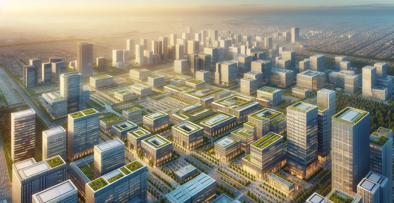
Below is a free classifier to identify office versus residential buildings. Just upload your image, and our AI will predict whether a building is classified as office or residential. - in just seconds.

Create a free account to:
Get instant API credentials
Start calling the API immediately with your own keys
Track accuracy on your data
See real-time performance metrics and understand how well the model works for your specific use case
Discover better models for your data
Get recommendations for specialist models trained on your examples that are more accurate and cost-effective
Add this classifier to your console
Clone office versus residential buildings into your project — then invoke it, track accuracy on your own data, and improve it.
Clone to your console →How this classifier works
To start, upload your image. Our AI tool will then predict whether a building is classified as office or residential..
This pretrained image model uses a Nyckel-created dataset and has 20 labels, including Co-Working Space, Commercial Office, Condominium, Duplex Residential, Government Office, High-Rise Residential, Low-Rise Office, Low-Rise Residential, Luxury Apartments and Mixed-Use Office.
We'll also show a confidence score (the higher the number, the more confident the AI model is around whether a building is classified as office or residential.).
Whether you're just curious or building office versus residential buildings detection into your application, we hope our classifier proves helpful.
Related Classifiers


Need to identify office versus residential buildings at scale?
Get API or Zapier access to this classifier for free. It's perfect for:
- Urban Planning Optimization: This classification function can assist urban planners in identifying the distribution of office versus residential buildings in a given area. By analyzing this data, planners can make informed decisions regarding zoning regulations and resource allocation to enhance community development.
- Real Estate Market Analysis: Real estate companies can use this tool to gather insights on market trends by distinguishing between office and residential properties. This information helps investors and developers identify potential investment opportunities and make strategic decisions based on property types in specific neighborhoods.
- Smart City Development: Municipalities can leverage the image classification function to monitor changes in urban landscapes over time. By differentiating between office and residential buildings, cities can better plan infrastructure upgrades and assess the impact of development on traffic, utilities, and public services.
- Insurance Risk Assessment: Insurance companies can utilize this classification to improve risk analysis for property insurance policies. By accurately categorizing buildings, insurers can assess risk profiles and set premiums more effectively, based on the unique risk associated with office versus residential properties.
- Targeted Marketing Campaigns: Businesses can use the classification tool to refine their marketing strategies by understanding the composition of neighborhoods. By identifying areas with a high concentration of residential buildings, companies can tailor their promotions for home-oriented products and services.
- Environmental Impact Studies: Researchers can employ this function to analyze the environmental implications of various building types in specific areas. By classifying images, they can study the effects of urbanization and office density on local ecosystems and advocate for sustainable development practices.
- Emergency Response Planning: First responders can integrate this classification into their geographic information systems (GIS) to enhance emergency response strategies. By knowing the types of buildings in an area, they can better prepare for incidents that may disproportionately affect residential or office zones, ensuring a more effective response.