Identify observatory type
using AI
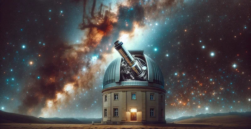
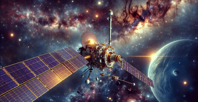
Below is a free classifier to identify observatory type. Just upload your image, and our AI will predict what type of observatory it is - in just seconds.

Contact us for API access
Or, use Nyckel to build highly-accurate custom classifiers in just minutes. No PhD required.
Get started
    import nyckel

    credentials = nyckel.Credentials("YOUR_CLIENT_ID", "YOUR_CLIENT_SECRET")
    nyckel.invoke("observatory-type", "your_image_url", credentials)
    fetch('https://www.nyckel.com/v1/functions/observatory-type/invoke', {
        method: 'POST',
        headers: {
            'Authorization': 'Bearer ' + 'YOUR_BEARER_TOKEN',
            'Content-Type': 'application/json',
        },
        body: JSON.stringify(
            {"data": "your_image_url"}
        )
    })
    .then(response => response.json())
    .then(data => console.log(data));
    curl -X POST \
        -H "Content-Type: application/json" \
        -H "Authorization: Bearer YOUR_BEARER_TOKEN" \
        -d '{"data": "your_image_url"}' \
        https://www.nyckel.com/v1/functions/observatory-type/invoke
How this classifier works
To start, upload your image. Our AI tool will then predict what type of observatory it is.
This pretrained image model uses a Nyckel-created dataset and has 21 labels, including Array, Asteroid, Dish, Gamma-Ray, Ground-Based, Infrared, Interferometric, Multi-Wavelength, Neutrino and Optical.
We'll also show a confidence score (the higher the number, the more confident the AI model is around what type of observatory it is).
Whether you're just curious or building observatory type detection into your application, we hope our classifier proves helpful.
Related Classifiers
Need to identify observatory type at scale?
Get API or Zapier access to this classifier for free. It's perfect for:
- Satellite Image Analysis: This function can be employed to classify images captured from satellites to identify observatory types. By distinguishing between different observatory technologies, organizations can optimize satellite operations and gather more accurate environmental data for research and analysis.
- Unmanned Aerial Vehicle (UAV) Monitoring: Integrating this classification function with UAV imagery allows for real-time identification of observatories. This can improve environmental monitoring by detecting unauthorized observatories, enhancing regulatory compliance, and facilitating rapid response to potential environmental hazards.
- Astronomy Research: Researchers can utilize this function to filter and categorize images from astronomical surveys. By organizing observatory types, scientists can focus their studies on specific facilities or telescope capabilities, accelerating advancements in astrophysics and cosmology.
- Environmental Policy Making: Government bodies can analyze images to identify observatory locations, supporting policies regarding land use and environmental protection. By understanding the distribution of observatories, policymakers can design laws that balance scientific research with ecological preservation.
- Disaster Management: This classification function can assist disaster response teams in identifying observatories that could provide critical data during natural disasters. By pinpointing relevant observatories, emergency services can leverage their technology and information to enhance response efforts and recovery planning.
- Educational Resource Development: Educational institutions can implement this function to create interactive learning tools about astronomical observatories. By categorizing observatory types, students can engage with content that enriches their understanding of both the technology and the science of astronomy.
- Tourism and Cultural Heritage Promotion: Organizations focusing on astrotourism can use this classification function to identify and promote observatory types as attractions. By showcasing unique observatories and their significance, they can enhance tourism strategies and celebrate cultural contributions to the field of astronomy.


