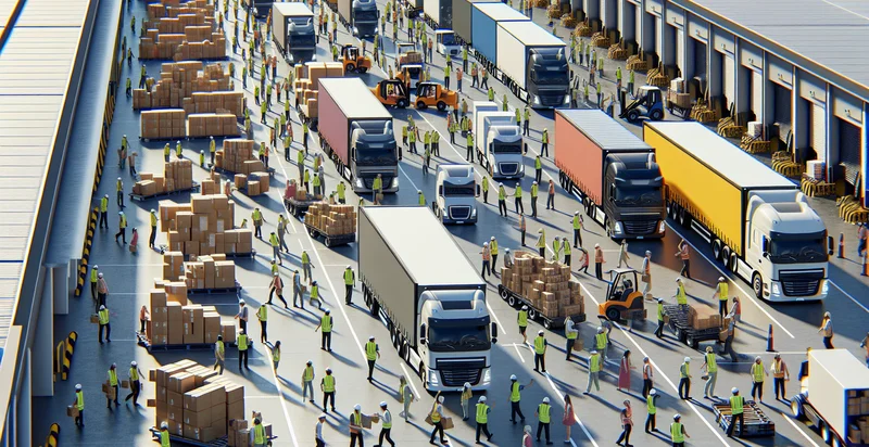
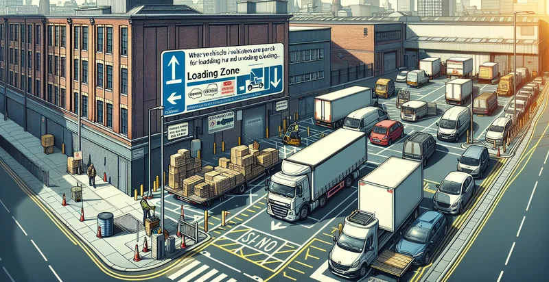
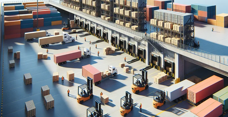
Identify loading zones
using AI
Below is a free classifier to identify loading zones. Just upload your image, and our AI will predict the appropriate loading zone category. - in just seconds.
Contact us for API access
Or, use Nyckel to build highly-accurate custom classifiers in just minutes. No PhD required.
Get started
    import nyckel

    credentials = nyckel.Credentials("YOUR_CLIENT_ID", "YOUR_CLIENT_SECRET")
    nyckel.invoke("loading-zones", "your_image_url", credentials)
    fetch('https://www.nyckel.com/v1/functions/loading-zones/invoke', {
        method: 'POST',
        headers: {
            'Authorization': 'Bearer ' + 'YOUR_BEARER_TOKEN',
            'Content-Type': 'application/json',
        },
        body: JSON.stringify(
            {"data": "your_image_url"}
        )
    })
    .then(response => response.json())
    .then(data => console.log(data));
    curl -X POST \
        -H "Content-Type: application/json" \
        -H "Authorization: Bearer YOUR_BEARER_TOKEN" \
        -d '{"data": "your_image_url"}' \
        https://www.nyckel.com/v1/functions/loading-zones/invoke
How this classifier works
To start, upload your image. Our AI tool will then predict the appropriate loading zone category..
This pretrained image model uses a Nyckel-created dataset and has 12 labels, including Commercial Loading Zone, Designated Loading Space, Express Loading Zone, Loading Zone A, Loading Zone B, Loading Zone C, Loading Zone D, Loading Zone E, Overnight Loading Area and Priority Loading Zone.
We'll also show a confidence score (the higher the number, the more confident the AI model is around the appropriate loading zone category.).
Whether you're just curious or building loading zones detection into your application, we hope our classifier proves helpful.
Related Classifiers
Need to identify loading zones at scale?
Get API or Zapier access to this classifier for free. It's perfect for:
- Logistics Optimization: Businesses can utilize the loading zones identifier to automate delivery route planning. By accurately identifying designated loading areas, companies can reduce time spent searching for appropriate spots, leading to optimized logistics and improved delivery efficiency.
- Urban Planning and Compliance: City planners can implement this function to monitor compliance with local loading zone regulations. By analyzing images from traffic cameras, municipalities can ensure that vehicles are adhering to loading zone rules, thus improving traffic flow and reducing congestion.
- Parking Management Systems: Parking management companies can leverage the identifier to create more effective parking solutions. By dynamically monitoring loading zones in real-time, they can inform drivers of available spaces, ultimately reducing illegal parking and enhancing urban mobility.
- Delivery Fleet Management: Delivery service providers can employ the loading zones identifier to enhance their fleet management. By ensuring drivers are utilizing proper loading zones, these businesses can minimize loading times and streamline package drop-off procedures.
- Retail Operations Enhancement: Retailers can integrate the function to monitor loading zone usage at their locations. This insight can help optimize staff assignments for unloading deliveries during peak hours, leading to improved inventory management and operational efficiency.
- Safety and Regulations Enforcement: Local authorities can use the loading zones identifier to conduct audits on loading zones' utilization. This capability supports enforcement efforts, deterring unauthorized parking and ensuring safety standards are maintained in high-traffic areas.
- Smart City Applications: In smart city initiatives, integrating the loading zones identifier within urban infrastructure can contribute to broader traffic management systems. By collecting data on loading zone usage, cities can analyze trends and make data-driven decisions to enhance urban design and transport policies.