Identify loading surface types
using AI
Below is a free classifier to identify loading surface types. Just upload your image, and our AI will predict what type of loading surface it is - in just seconds.

Contact us for API access
Or, use Nyckel to build highly-accurate custom classifiers in just minutes. No PhD required.
Get started
    import nyckel

    credentials = nyckel.Credentials("YOUR_CLIENT_ID", "YOUR_CLIENT_SECRET")
    nyckel.invoke("loading-surface-types", "your_image_url", credentials)
    fetch('https://www.nyckel.com/v1/functions/loading-surface-types/invoke', {
        method: 'POST',
        headers: {
            'Authorization': 'Bearer ' + 'YOUR_BEARER_TOKEN',
            'Content-Type': 'application/json',
        },
        body: JSON.stringify(
            {"data": "your_image_url"}
        )
    })
    .then(response => response.json())
    .then(data => console.log(data));
    curl -X POST \
        -H "Content-Type: application/json" \
        -H "Authorization: Bearer YOUR_BEARER_TOKEN" \
        -d '{"data": "your_image_url"}' \
        https://www.nyckel.com/v1/functions/loading-surface-types/invoke
How this classifier works
To start, upload your image. Our AI tool will then predict what type of loading surface it is.
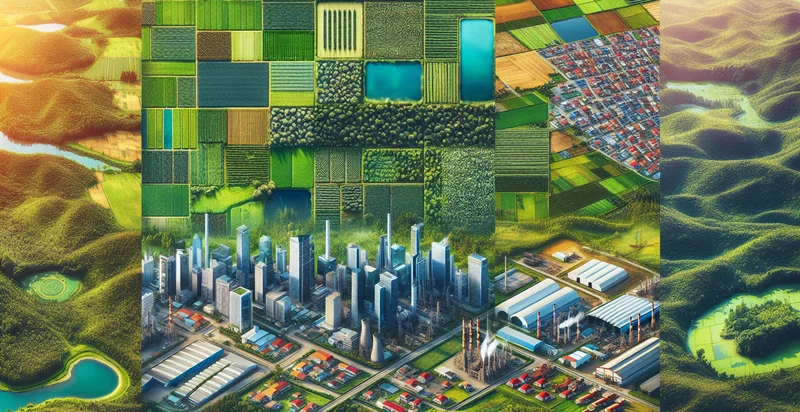
This pretrained image model uses a Nyckel-created dataset and has 21 labels, including Asphalt, Brick, Circular, Cobblestone, Concrete, Dirt, Earth, Flat, Grass and Gravel.
We'll also show a confidence score (the higher the number, the more confident the AI model is around what type of loading surface it is).
Whether you're just curious or building loading surface types detection into your application, we hope our classifier proves helpful.
Related Classifiers


Need to identify loading surface types at scale?
Get API or Zapier access to this classifier for free. It's perfect for:
- Construction Site Evaluation: The loading surface types identifier can be employed on construction sites to assess soil and ground conditions. By quickly classifying surfaces, project managers can determine the suitability of terrain for specific machinery and materials, optimizing operational efficiency and safety.
- Urban Planning and Development: Urban planners can utilize the surface type classification to inform design choices regarding road construction, landscaping, and drainage systems. This information helps in making informed decisions on city infrastructure projects while minimizing environmental impact.
- Agricultural Optimization: In agriculture, this function can identify different surface types to help farmers select appropriate crops based on terrain compatibility. Accurate surface classification facilitates better land management and improves yield through tailored farming practices.
- Disaster Response and Recovery: Emergency responders can leverage surface classification to assess areas affected by natural disasters, such as floods or landslides. By understanding the types of surfaces present, they can plan effective evacuation routes and allocate resources more efficiently.
- Environmental Monitoring: Environmental scientists can use this technology to monitor changes in surface types over time due to natural or anthropogenic factors. This capability aids in assessing impacts on biodiversity, soil erosion, and land use changes.
- Tourism and Recreational Planning: Tourism authorities can apply the loading surface types identifier to evaluate and promote outdoor recreational areas, such as hiking trails or parks. By classifying surfaces, they can recommend activities suitable for different terrain types, enhancing visitor experiences.
- Traffic Management Systems: Traffic management solutions can integrate surface type classification to improve vehicle routing based on road conditions. This can enhance vehicular safety and fuel efficiency by redirecting traffic away from unsuitable surfaces or construction zones.