Identify land use types
using AI
Below is a free classifier to identify land use types. Just upload your image, and our AI will predict the type of land use present in the image - in just seconds.
Create a free account to:
Get instant API credentials
Start calling the API immediately with your own keys
Track accuracy on your data
See real-time performance metrics and understand how well the model works for your specific use case
Discover better models for your data
Get recommendations for specialist models trained on your examples that are more accurate and cost-effective
How this classifier works
To start, upload your image. Our AI tool will then predict the type of land use present in the image.
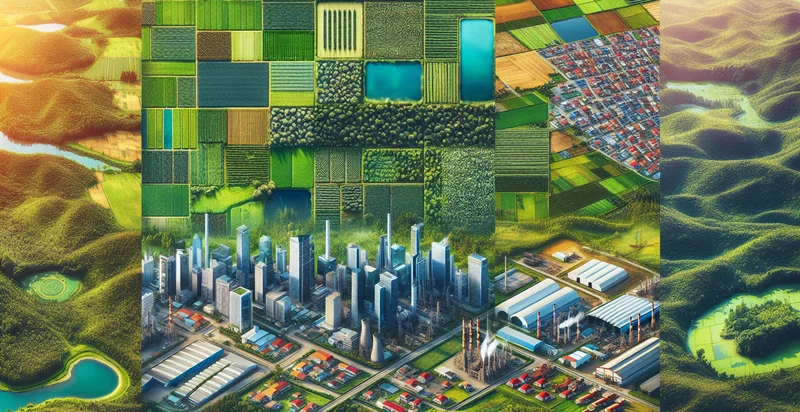
This pretrained image model uses a Nyckel-created dataset and has 31 labels, including Agricultural, Cemetery, Civic Space, Commercial, Commercial Agriculture, Fairgrounds, Farming, Forest, Hospital and Industrial.
We'll also show a confidence score (the higher the number, the more confident the AI model is around the type of land use present in the image).
Whether you're just curious or building land use types detection into your application, we hope our classifier proves helpful.
Related Classifiers


Need to identify land use types at scale?
Get API or Zapier access to this classifier for free. It's perfect for:
- Urban Planning Support: The false image classification function can assist urban planners by identifying land use types in satellite imagery. This information helps in assessing current land use and making informed decisions on zoning, infrastructure development, and environmental impact.
- Agricultural Monitoring: Farmers and agricultural consultants can use this function to differentiate between crop types in large fields. By accurately classifying land use, they can optimize resource allocation, manage pest control, and improve overall crop yield.
- Environmental Impact Assessments: Environmental agencies can leverage the land use classification function to evaluate potential impacts of new developments. Identifying existing land types allows for comprehensive assessments to safeguard natural habitats and ensure sustainable development practices.
- Disaster Response Planning: Emergency management services can apply this function to classify land use types in disaster-stricken areas. This information aids in prioritizing response efforts and resource distribution based on the specific land uses affected by natural disasters.
- Real Estate Development: Real estate developers can utilize the land use identification function to analyze properties and surrounding areas. Understanding land use types helps in assessing property value, market trends, and identifying suitable locations for new projects.
- Transportation Infrastructure Improvement: Transportation agencies can use this function to assess land use around existing and proposed transit routes. By understanding how different land uses interact, agencies can enhance connectivity and promote sustainable transportation solutions.
- Climate Change Research: Researchers studying climate change effects can use the land use type classification function to analyze changes over time. By evaluating shifts in land use patterns, they can better understand relationships between land use and factors such as urban heat islands, carbon sequestration, and biodiversity loss.