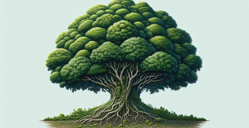
Identify if there is a bush
using AI
Below is a free classifier to identify if there is a bush. Just upload your image, and our AI will predict if there is a bush - in just seconds.

Contact us for API access
Or, use Nyckel to build highly-accurate custom classifiers in just minutes. No PhD required.
Get started
    import nyckel

    credentials = nyckel.Credentials("YOUR_CLIENT_ID", "YOUR_CLIENT_SECRET")
    nyckel.invoke("if-there-is-a-bush", "your_image_url", credentials)
    fetch('https://www.nyckel.com/v1/functions/if-there-is-a-bush/invoke', {
        method: 'POST',
        headers: {
            'Authorization': 'Bearer ' + 'YOUR_BEARER_TOKEN',
            'Content-Type': 'application/json',
        },
        body: JSON.stringify(
            {"data": "your_image_url"}
        )
    })
    .then(response => response.json())
    .then(data => console.log(data));
    curl -X POST \
        -H "Content-Type: application/json" \
        -H "Authorization: Bearer YOUR_BEARER_TOKEN" \
        -d '{"data": "your_image_url"}' \
        https://www.nyckel.com/v1/functions/if-there-is-a-bush/invoke
How this classifier works
To start, upload your image. Our AI tool will then predict if there is a bush.
This pretrained image model uses a Nyckel-created dataset and has 2 labels, including Bush Present and No Bush.
We'll also show a confidence score (the higher the number, the more confident the AI model is around if there is a bush).
Whether you're just curious or building if there is a bush detection into your application, we hope our classifier proves helpful.
Related Classifiers
Need to identify if there is a bush at scale?
Get API or Zapier access to this classifier for free. It's perfect for:
- Agricultural Monitoring: This function can be employed by farmers to identify and monitor the health of bushes in their fields. By analyzing whether bushes are present, farmers can make informed decisions about irrigation, pest control, and overall crop management.
- Urban Planning: City planners can utilize the bush identification function to assess green spaces within urban environments. This data helps in planning for parks, biodiversity conservation, and ensuring that urban developments incorporate adequate green areas.
- Wildlife Conservation: Environmentalists can apply this technology to track the presence of bushes in various ecosystems. This information is crucial for understanding wildlife habitats and developing conservation strategies for endangered species that rely on bushland.
- Landscaping Services: Landscaping companies can use this function to assess properties before offering services. By identifying existing bush locations, they can provide tailored recommendations for improvements or removals, enhancing their service efficiency.
- Fire Risk Assessment: Emergency services can leverage bush identification to evaluate fire risk in forested or rural areas. By detecting the presence of bushes, they can plan for preventive measures and improve response strategies during fire season.
- Ecological Research: Researchers studying ecosystems can use this function to analyze the distribution of bushes in different habitats. This data can help in understanding ecological dynamics, biodiversity, and the impact of climate change on vegetation.
- Real Estate Development: Real estate developers can utilize bush identification to assess land before construction projects. Understanding bush density and location enables developers to comply with environmental regulations and optimize land use for building.


