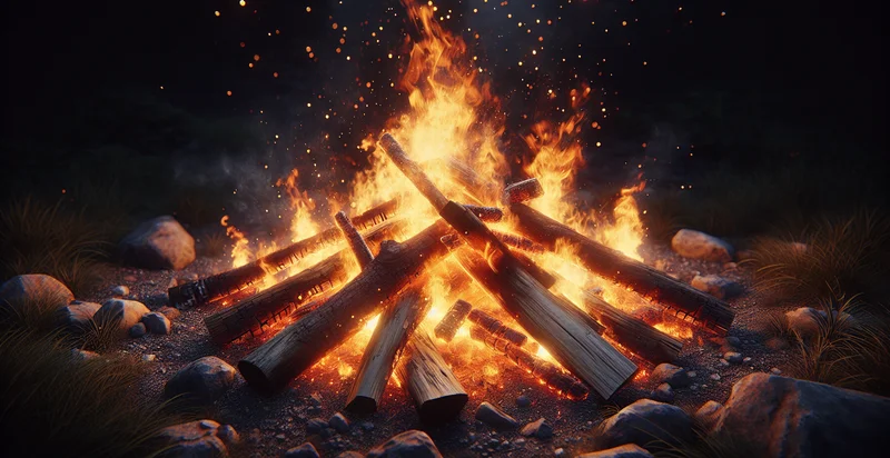
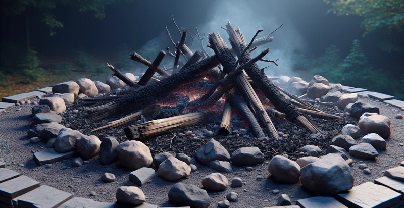
Identify if there's a campfire
using AI
Below is a free classifier to identify if there's a campfire. Just upload your image, and our AI will predict if there's a campfire - in just seconds.

Contact us for API access
Or, use Nyckel to build highly-accurate custom classifiers in just minutes. No PhD required.
Get started
    import nyckel

    credentials = nyckel.Credentials("YOUR_CLIENT_ID", "YOUR_CLIENT_SECRET")
    nyckel.invoke("if-there's-a-campfire", "your_image_url", credentials)
    fetch('https://www.nyckel.com/v1/functions/if-there's-a-campfire/invoke', {
        method: 'POST',
        headers: {
            'Authorization': 'Bearer ' + 'YOUR_BEARER_TOKEN',
            'Content-Type': 'application/json',
        },
        body: JSON.stringify(
            {"data": "your_image_url"}
        )
    })
    .then(response => response.json())
    .then(data => console.log(data));
    curl -X POST \
        -H "Content-Type: application/json" \
        -H "Authorization: Bearer YOUR_BEARER_TOKEN" \
        -d '{"data": "your_image_url"}' \
        https://www.nyckel.com/v1/functions/if-there's-a-campfire/invoke
How this classifier works
To start, upload your image. Our AI tool will then predict if there's a campfire.
This pretrained image model uses a Nyckel-created dataset and has 2 labels, including Campfire Absent and Campfire Present.
We'll also show a confidence score (the higher the number, the more confident the AI model is around if there's a campfire).
Whether you're just curious or building if there's a campfire detection into your application, we hope our classifier proves helpful.
Recommended Classifiers
Need to identify if there's a campfire at scale?
Get API or Zapier access to this classifier for free. It's perfect for:
- Wildfire Prevention: Implementing this identifier in drones or satellite imagery can enhance efforts to detect unauthorized campfires in wilderness areas. Prompt alerts can be sent to forest rangers to prevent potential wildfire outbreaks and protect natural resources.
- Camping Site Monitoring: Campgrounds can utilize this function to monitor live feeds from cameras placed in popular camping areas. This ensures compliance with safety regulations, allowing staff to monitor safety practices and quickly address any potential fire hazards.
- Environmental Research: Researchers studying the impact of human activity on local ecosystems can use this identifier to gather data on how often campfires are used in specific areas. The insights can inform conservation strategies and help in mitigating damage to sensitive landscapes.
- Tourist Safety App: Developing a mobile application for campers that utilizes this identifier can improve safety by alerting users to nearby campfires based on their location. The app can provide real-time information, enhancing the overall camping experience while minimizing risks.
- Insurance Risk Assessment: Insurance companies can integrate this identifier in risk assessment models to evaluate potential claims related to fire damage. By analyzing the frequency of campfires in insured areas, they can better underwrite policies for properties in fire-prone regions.
- Fire Safety Training Programs: Educational institutions and NGOs can use the identifier to create training materials about campfire safety. By providing real-life scenarios where campfires are detected, they can emphasize best practices and the importance of fire safety awareness.
- Local Government Regulation Enforcement: Municipalities can employ this identifier in monitoring compliance with local ordinances regarding open fires. This helps in maintaining community safety standards, allowing officials to take action against illegal campfires in urban or residential areas.


