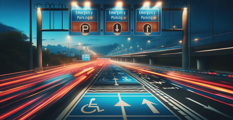
Identify if emergency parking is available
using AI
Below is a free classifier to identify if emergency parking is available. Just upload your image, and our AI will predict if emergency parking is available - in just seconds.

Contact us for API access
Or, use Nyckel to build highly-accurate custom classifiers in just minutes. No PhD required.
Get started
    import nyckel

    credentials = nyckel.Credentials("YOUR_CLIENT_ID", "YOUR_CLIENT_SECRET")
    nyckel.invoke("if-emergency-parking-is-available", "your_image_url", credentials)
    fetch('https://www.nyckel.com/v1/functions/if-emergency-parking-is-available/invoke', {
        method: 'POST',
        headers: {
            'Authorization': 'Bearer ' + 'YOUR_BEARER_TOKEN',
            'Content-Type': 'application/json',
        },
        body: JSON.stringify(
            {"data": "your_image_url"}
        )
    })
    .then(response => response.json())
    .then(data => console.log(data));
    curl -X POST \
        -H "Content-Type: application/json" \
        -H "Authorization: Bearer YOUR_BEARER_TOKEN" \
        -d '{"data": "your_image_url"}' \
        https://www.nyckel.com/v1/functions/if-emergency-parking-is-available/invoke
How this classifier works
To start, upload your image. Our AI tool will then predict if emergency parking is available.
This pretrained image model uses a Nyckel-created dataset and has 2 labels, including Emergency Parking Available and Emergency Parking Not Available.
We'll also show a confidence score (the higher the number, the more confident the AI model is around if emergency parking is available).
Whether you're just curious or building if emergency parking is available detection into your application, we hope our classifier proves helpful.
Related Classifiers
Need to identify if emergency parking is available at scale?
Get API or Zapier access to this classifier for free. It's perfect for:
- Emergency Vehicle Access Management: This system can be used by municipalities to monitor and manage emergency vehicle access points in real-time. By identifying available emergency parking spots, first responders can reach incidents faster, reducing response times in critical situations.
- Smart City Infrastructure: City planners can integrate this technology into smart city initiatives to optimize urban design. By analyzing patterns of emergency parking availability, they can make informed decisions about new parking infrastructures, ensuring adequate access for emergency services.
- Emergency Services Route Optimization: Ambulance services can utilize this identifier to determine the best routes with available emergency parking. This would enable them to plan their journeys effectively, ensuring they can park quickly and access crucial locations without delay.
- Event Traffic Management: Event organizers can employ this technology during large gatherings or festivals to monitor and direct emergency parking availability. This would ensure that emergency vehicles have prioritized access, enhancing safety and rapid response capabilities at events.
- Fleet Management Systems: Companies with fleets can integrate the identifier into their operations for dispatch optimization. By knowing where emergency parking is available, they can direct service vehicles to areas with the least congestion, improving overall operational efficiency.
- Insurance Assessments: Insurance companies can utilize the identifier to evaluate risk and response times in urban areas. By analyzing the availability of emergency parking during incidents, they can better assess policyholder claims related to property damage or personal injury.
- Mobile Safety Apps: Developers of mobile safety applications can incorporate this feature to guide users during emergencies. By providing real-time information on nearby emergency parking, the app can assist citizens in quickly locating safe areas for first responders, ensuring public safety.


