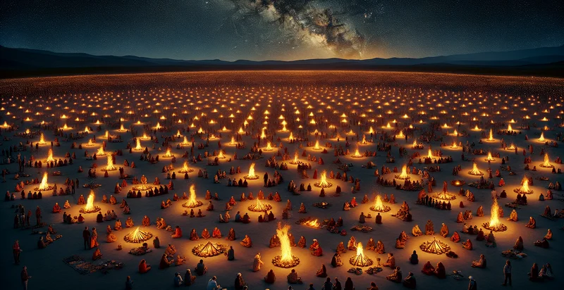
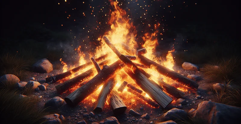
Identify how many campfires there are
using AI
Below is a free classifier to identify how many campfires there are. Just upload your image, and our AI will predict how many campfires there are - in just seconds.

Contact us for API access
Or, use Nyckel to build highly-accurate custom classifiers in just minutes. No PhD required.
Get started
    import nyckel

    credentials = nyckel.Credentials("YOUR_CLIENT_ID", "YOUR_CLIENT_SECRET")
    nyckel.invoke("how-many-campfires-there-are", "your_image_url", credentials)
    fetch('https://www.nyckel.com/v1/functions/how-many-campfires-there-are/invoke', {
        method: 'POST',
        headers: {
            'Authorization': 'Bearer ' + 'YOUR_BEARER_TOKEN',
            'Content-Type': 'application/json',
        },
        body: JSON.stringify(
            {"data": "your_image_url"}
        )
    })
    .then(response => response.json())
    .then(data => console.log(data));
    curl -X POST \
        -H "Content-Type: application/json" \
        -H "Authorization: Bearer YOUR_BEARER_TOKEN" \
        -d '{"data": "your_image_url"}' \
        https://www.nyckel.com/v1/functions/how-many-campfires-there-are/invoke
How this classifier works
To start, upload your image. Our AI tool will then predict how many campfires there are.
This pretrained image model uses a Nyckel-created dataset and has 7 labels, including 0, 1, 11-15, 16-20, 2-5, 21+ and 6-10.
We'll also show a confidence score (the higher the number, the more confident the AI model is around how many campfires there are).
Whether you're just curious or building how many campfires there are detection into your application, we hope our classifier proves helpful.
Related Classifiers
Need to identify how many campfires there are at scale?
Get API or Zapier access to this classifier for free. It's perfect for:
- Outdoor Event Management: Event organizers can utilize the campfire identifier to assess the number of campfires during outdoor activities such as festivals or camping trips. This information can help ensure safety protocols are followed and inform resource allocation for firewood and safety equipment.
- Wildfire Risk Assessment: Environmental agencies can leverage the campfire count to identify potential wildfire risks in heavily trafficked recreational areas. By monitoring the number of campfires, they can issue warnings or take preventive measures to mitigate fire hazards based on real-time data.
- Ecotourism Monitoring: Ecotourism operators can use this function to track campfire activity in protected areas, ensuring that it does not exceed sustainable limits. This allows for better management of natural resources and preservation of the environment while promoting responsible tourism.
- Urban Planning and Development: City planners can apply the campfire identifier to understand recreational patterns in urban forested parks. By analyzing where campfires are concentrated, they can design suitable park facilities or enforce regulations to balance recreation with conservation efforts.
- Resource Allocation for Fire Services: Fire departments could utilize the campfire count to allocate resources more effectively during high-traffic seasons. Increased monitoring would inform staffing decisions and equipment readiness to respond quickly to potential fire incidents.
- Community Safety Initiatives: Local communities can use the campfire identification data to educate residents about fire safety and responsible campfire usage. Campaigns can be designed to target areas with high campfire frequency, reducing the risks associated with uncontrolled fires.
- Research and Wildlife Habitation Studies: Researchers studying wildlife behavior can use the campfire count as a variable in understanding human impact on animal habitats. By correlating campfire activity with wildlife patterns, they can draw conclusions about habitat compatibility and biodiversity conservation efforts.


