Identify geographical features
using AI
Below is a free classifier to identify geographical features. Just upload your image, and our AI will predict what geographical feature it is - in just seconds.

Contact us for API access
Or, use Nyckel to build highly-accurate custom classifiers in just minutes. No PhD required.
Get started
    import nyckel

    credentials = nyckel.Credentials("YOUR_CLIENT_ID", "YOUR_CLIENT_SECRET")
    nyckel.invoke("geographical-features", "your_image_url", credentials)
    fetch('https://www.nyckel.com/v1/functions/geographical-features/invoke', {
        method: 'POST',
        headers: {
            'Authorization': 'Bearer ' + 'YOUR_BEARER_TOKEN',
            'Content-Type': 'application/json',
        },
        body: JSON.stringify(
            {"data": "your_image_url"}
        )
    })
    .then(response => response.json())
    .then(data => console.log(data));
    curl -X POST \
        -H "Content-Type: application/json" \
        -H "Authorization: Bearer YOUR_BEARER_TOKEN" \
        -d '{"data": "your_image_url"}' \
        https://www.nyckel.com/v1/functions/geographical-features/invoke
How this classifier works
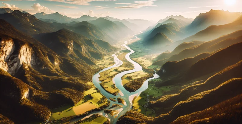
To start, upload your image. Our AI tool will then predict what geographical feature it is.
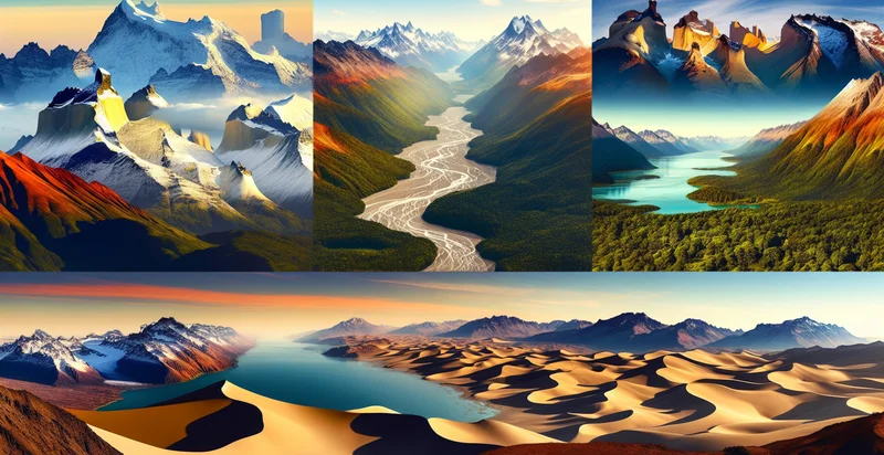
This pretrained image model uses a Nyckel-created dataset and has 31 labels, including Basins, Canyons, Cliffs, Coastlines, Coral Reefs, Deserts, Dunes, Fjord, Forests and Glaciers.
We'll also show a confidence score (the higher the number, the more confident the AI model is around what geographical feature it is).
Whether you're just curious or building geographical features detection into your application, we hope our classifier proves helpful.
Related Classifiers
Need to identify geographical features at scale?
Get API or Zapier access to this classifier for free. It's perfect for:
- Environmental Monitoring: The geographical features identifier can be used to assess environmental changes by analyzing satellite images over time. This functionality enables researchers to track deforestation, glacial melting, and other ecological shifts, providing critical data for climate change studies.
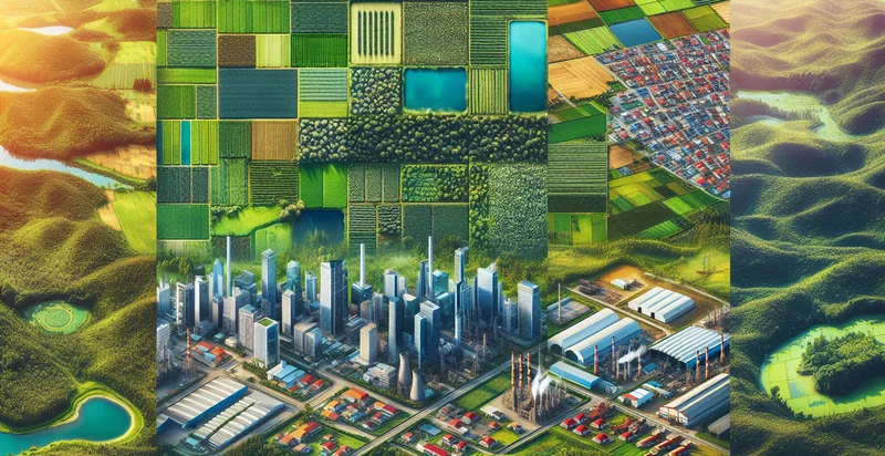
- Urban Planning: City planners can leverage the false image classification function to identify and categorize geographical features in urban areas, such as parks, rivers, and residential zones. This information aids in more effective land use planning, infrastructure development, and resource allocation.
- Agricultural Management: Farmers and agricultural organizations can utilize this technology to identify soil types and topographical features, which are crucial for optimizing crop selection and farming practices. By understanding the geographical characteristics of their land, they can enhance yield and sustainability.
- Disaster Response: In the aftermath of natural disasters, the geographical features identifier can help emergency responders assess the situation by classifying terrain and identifying obstacles. This leads to more effective deployment of resources, ensuring swift aid to affected areas.
- Tourism Development: Tourism boards can utilize this function to analyze and promote areas with unique geographical features, like mountains, lakes, or historical sites. By identifying these features, they can create targeted marketing strategies to attract visitors and enhance local economies.
- Real Estate Investment: Real estate developers can use the identifier to assess geographical features that may affect property values, such as proximity to water bodies or elevation levels. This data allows for better investment decisions and risk assessment in property development.
- Wildlife Conservation: Conservation groups can utilize the geographical features identifier to map habitats and identify key biodiversity areas. This information is essential for protecting endangered species and implementing conservation strategies effectively.