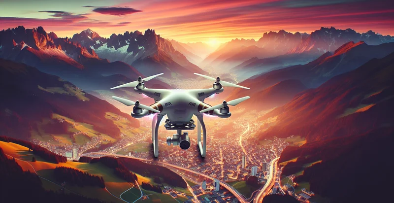
Identify drone photography presence
using AI
Below is a free classifier to identify drone photography presence. Just upload your image, and our AI will predict if drone photography is present - in just seconds.
Contact us for API access
Or, use Nyckel to build highly-accurate custom classifiers in just minutes. No PhD required.
Get started
    import nyckel

    credentials = nyckel.Credentials("YOUR_CLIENT_ID", "YOUR_CLIENT_SECRET")
    nyckel.invoke("drone-photography-presence", "your_image_url", credentials)
    fetch('https://www.nyckel.com/v1/functions/drone-photography-presence/invoke', {
        method: 'POST',
        headers: {
            'Authorization': 'Bearer ' + 'YOUR_BEARER_TOKEN',
            'Content-Type': 'application/json',
        },
        body: JSON.stringify(
            {"data": "your_image_url"}
        )
    })
    .then(response => response.json())
    .then(data => console.log(data));
    curl -X POST \
        -H "Content-Type: application/json" \
        -H "Authorization: Bearer YOUR_BEARER_TOKEN" \
        -d '{"data": "your_image_url"}' \
        https://www.nyckel.com/v1/functions/drone-photography-presence/invoke
How this classifier works
To start, upload your image. Our AI tool will then predict if drone photography is present.
This pretrained image model uses a Nyckel-created dataset and has 2 labels, including Drone Present and No Drone Present.
We'll also show a confidence score (the higher the number, the more confident the AI model is around if drone photography is present).
Whether you're just curious or building drone photography presence detection into your application, we hope our classifier proves helpful.
Related Classifiers

Need to identify drone photography presence at scale?
Get API or Zapier access to this classifier for free. It's perfect for:
- Agricultural Monitoring: The drone photography presence identifier can be used by farmers to monitor crop health and growth patterns. By analyzing images captured by drones, the system can identify areas needing attention, helping to optimize resource allocation and improve yield.
- Construction Site Management: Construction firms can implement this function to oversee sites remotely. By detecting the presence of drones in the vicinity, project managers can ensure strict compliance with safety regulations and monitor progress without being physically present.
- Wildlife Conservation: Conservationists can utilize the drone photography presence identifier to monitor wildlife populations and habitats. By identifying drone activity in protected areas, they can assess any human interference and take necessary action to safeguard endangered species.
- Disaster Response Operations: In emergency scenarios, the presence of drones can greatly aid in search and rescue missions. This function can help first responders quickly assess affected areas and coordinate their efforts by identifying active drone usage for reconnaissance and data gathering.
- Real Estate Marketing: Real estate agencies can leverage the drone photography presence identifier to enhance their marketing strategies. By tracking drone activity in specific neighborhoods, agents can gauge interest levels and plan targeted advertising efforts for properties in those areas.
- Event Security: At large public events, security teams can use the identifier to monitor unauthorized drone activity. By detecting the presence of drones, authorities can respond swiftly to potential threats or privacy invasions, ensuring a safer environment for attendees.
- Environmental Monitoring: Environmental organizations can employ the function to track the presence of drones in sensitive ecosystems. By documenting drone usage over time, they can study the impact of aerial activity on ecological balance and contribute data for policy-making.