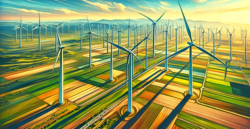
Identify aerial views of wind farms
using AI
Below is a free classifier to identify aerial views of wind farms. Just upload your image, and our AI will predict if it contains aerial views of wind farms - in just seconds.

Contact us for API access
Or, use Nyckel to build highly-accurate custom classifiers in just minutes. No PhD required.
Get started
    import nyckel

    credentials = nyckel.Credentials("YOUR_CLIENT_ID", "YOUR_CLIENT_SECRET")
    nyckel.invoke("aerial-views-of-wind-farms", "your_image_url", credentials)
    fetch('https://www.nyckel.com/v1/functions/aerial-views-of-wind-farms/invoke', {
        method: 'POST',
        headers: {
            'Authorization': 'Bearer ' + 'YOUR_BEARER_TOKEN',
            'Content-Type': 'application/json',
        },
        body: JSON.stringify(
            {"data": "your_image_url"}
        )
    })
    .then(response => response.json())
    .then(data => console.log(data));
    curl -X POST \
        -H "Content-Type: application/json" \
        -H "Authorization: Bearer YOUR_BEARER_TOKEN" \
        -d '{"data": "your_image_url"}' \
        https://www.nyckel.com/v1/functions/aerial-views-of-wind-farms/invoke
How this classifier works
To start, upload your image. Our AI tool will then predict if it contains aerial views of wind farms.
This pretrained image model uses a Nyckel-created dataset and has 2 labels, including Turbine In Operation and Turbine Not Operational.
We'll also show a confidence score (the higher the number, the more confident the AI model is around if it contains aerial views of wind farms).
Whether you're just curious or building aerial views of wind farms detection into your application, we hope our classifier proves helpful.
Related Classifiers
Need to identify aerial views of wind farms at scale?
Get API or Zapier access to this classifier for free. It's perfect for:
- Site Selection Analysis: The aerial views of wind farms can be utilized to assess the suitability of potential locations for new wind installations. By analyzing terrain and existing structures, stakeholders can make informed decisions regarding the optimal placement of new wind turbines.
- Performance Monitoring: This function can be employed to regularly monitor the operational efficiency of existing wind farms. By identifying which turbines are performing suboptimally, maintenance crews can be dispatched to address issues proactively, ensuring maximum output and reduced downtime.
- Environmental Impact Assessment: Aerial imagery provides valuable data for assessing the environmental impact of wind farms on local wildlife and ecosystems. Classification algorithms can help identify any significant changes in land use patterns or habitat disruptions, informing regulatory compliance and sustainability efforts.
- Infrastructure Planning: The True image classification function can aid in planning for infrastructure needs such as access roads and utility connections by analyzing the spatial layout of current wind farms. This helps in optimizing the distribution of resources and minimizing environmental disruption during construction.
- Local Community Engagement: By utilizing aerial views for public presentations, wind farm developers can communicate potential projects clearly to local communities. Visual representations can facilitate better understanding and dialogue about the benefits and impact of wind farm installations.
- Insurance and Risk Management: Insurance companies can leverage aerial classification data to evaluate risks and coverage needs for wind farms. Identifying any significant structural or environmental concerns helps insurers to establish more accurate policies based on real, current conditions.
- Research and Development: Academic and industry researchers can use aerial imagery and classification data to study wind farm development trends and technological advancements. With concrete visual data, research can focus on enhancing turbine designs, efficiency, and ecological responsibility.


