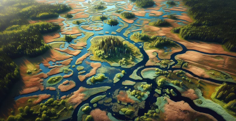
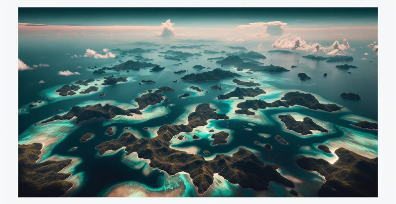
Identify aerial views of wetlands
using AI
Below is a free classifier to identify aerial views of wetlands. Just upload your image, and our AI will predict if the area is a wetland or not - in just seconds.

Contact us for API access
Or, use Nyckel to build highly-accurate custom classifiers in just minutes. No PhD required.
Get started
    import nyckel

    credentials = nyckel.Credentials("YOUR_CLIENT_ID", "YOUR_CLIENT_SECRET")
    nyckel.invoke("aerial-views-of-wetlands", "your_image_url", credentials)
    fetch('https://www.nyckel.com/v1/functions/aerial-views-of-wetlands/invoke', {
        method: 'POST',
        headers: {
            'Authorization': 'Bearer ' + 'YOUR_BEARER_TOKEN',
            'Content-Type': 'application/json',
        },
        body: JSON.stringify(
            {"data": "your_image_url"}
        )
    })
    .then(response => response.json())
    .then(data => console.log(data));
    curl -X POST \
        -H "Content-Type: application/json" \
        -H "Authorization: Bearer YOUR_BEARER_TOKEN" \
        -d '{"data": "your_image_url"}' \
        https://www.nyckel.com/v1/functions/aerial-views-of-wetlands/invoke
How this classifier works
To start, upload your image. Our AI tool will then predict if the area is a wetland or not.
This pretrained image model uses a Nyckel-created dataset and has 2 labels, including Degraded Wetlands and Healthy Wetlands.
We'll also show a confidence score (the higher the number, the more confident the AI model is around if the area is a wetland or not).
Whether you're just curious or building aerial views of wetlands detection into your application, we hope our classifier proves helpful.
Related Classifiers
Need to identify aerial views of wetlands at scale?
Get API or Zapier access to this classifier for free. It's perfect for:
- Environmental Monitoring: Aerial views of wetlands can be analyzed to track ecosystem health over time. By identifying wetlands in satellite images, researchers can monitor changes in water levels, vegetation cover, and species habitats, allowing for timely interventions and conservation efforts.
- Urban Planning: City planners can utilize true image classification of wetlands to inform development projects. By accurately identifying wetland areas, planners can ensure that new developments comply with environmental regulations and protect vital natural resources.
- Biodiversity Assessment: This function can enhance biodiversity studies by mapping wetland distribution and their surrounding ecosystems. By identifying various wetland types, researchers can assess habitat diversity and identify critical areas for species conservation.
- Disaster Management: In the context of natural disasters, aerial view classification can be used to assess wetland stability and flood mitigation potential. Accurate identification of wetland boundaries helps emergency teams better understand flood impacts and aid in effective disaster response planning.
- Agricultural Water Management: Farmers can use aerial wetland identification to optimize irrigation strategies. By understanding the location and extent of wetlands, agricultural producers can make informed decisions regarding water usage and crop planning, supporting sustainable practices.
- Climate Change Research: Researchers studying climate change can benefit from wetland classification to analyze the role of wetlands as carbon sinks. This data helps in modeling climate impact, informing conservation strategies, and in developing initiatives to enhance wetland resilience.
- Wildlife Habitat Restoration: Conservationists can leverage the classification of aerial wetland imagery for habitat restoration projects. By identifying degraded wetland areas, targeted restoration efforts can be implemented to revitalize these ecosystems and support wildlife populations.


