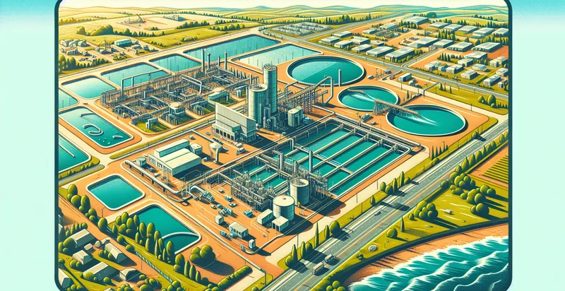
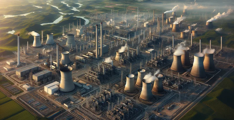
Identify aerial views of water treatment plants
using AI
Below is a free classifier to identify aerial views of water treatment plants. Just upload your image, and our AI will predict if it's a water treatment plant - in just seconds.

Contact us for API access
Or, use Nyckel to build highly-accurate custom classifiers in just minutes. No PhD required.
Get started
    import nyckel

    credentials = nyckel.Credentials("YOUR_CLIENT_ID", "YOUR_CLIENT_SECRET")
    nyckel.invoke("aerial-views-of-water-treatment-plants", "your_image_url", credentials)
    fetch('https://www.nyckel.com/v1/functions/aerial-views-of-water-treatment-plants/invoke', {
        method: 'POST',
        headers: {
            'Authorization': 'Bearer ' + 'YOUR_BEARER_TOKEN',
            'Content-Type': 'application/json',
        },
        body: JSON.stringify(
            {"data": "your_image_url"}
        )
    })
    .then(response => response.json())
    .then(data => console.log(data));
    curl -X POST \
        -H "Content-Type: application/json" \
        -H "Authorization: Bearer YOUR_BEARER_TOKEN" \
        -d '{"data": "your_image_url"}' \
        https://www.nyckel.com/v1/functions/aerial-views-of-water-treatment-plants/invoke
How this classifier works
To start, upload your image. Our AI tool will then predict if it's a water treatment plant.
This pretrained image model uses a Nyckel-created dataset and has 2 labels, including Treated Water and Untreated Water.
We'll also show a confidence score (the higher the number, the more confident the AI model is around if it's a water treatment plant).
Whether you're just curious or building aerial views of water treatment plants detection into your application, we hope our classifier proves helpful.
Related Classifiers
Need to identify aerial views of water treatment plants at scale?
Get API or Zapier access to this classifier for free. It's perfect for:
- Monitoring Plant Efficiency: This function can be used to analyze aerial views of water treatment plants to assess operational efficiency. By identifying specific features and structures, operators can determine if the plant is functioning optimally or if there are inefficiencies that need addressing.
- Compliance and Regulation Assessment: Water treatment facilities must adhere to environmental regulations. This classification function can help regulators monitor facilities from above, identifying compliance issues such as overflow, blocked structures, or improper maintenance.
- Infrastructure Maintenance Planning: By utilizing aerial imagery, maintenance teams can classify wear and tear on plant infrastructure over time. This information is valuable for scheduling preventive maintenance and for budgeting repairs, ultimately enhancing the lifespan of the equipment.
- Emergency Response Planning: In the event of natural disasters or environmental hazards, quickly identifying the state of water treatment facilities from aerial views can aid emergency response teams. This use case helps in prioritizing which plants may require immediate attention based on their condition and accessibility.
- Resource Allocation Optimization: This classification function can assist in analyzing the distribution of resources across multiple water treatment plants. By identifying underperforming plants, managers can optimize resource allocation, ensuring that support and investment are targeted where they are most needed.
- Environmental Impact Studies: Researchers can utilize aerial imagery classification for studies related to the environmental impact of water treatment plants. By identifying waste disposal areas and vegetation around the plant, they can assess potential risks to local ecosystems.
- Community Engagement and Transparency: Water treatment plants can use aerial views to create visual reports for public communication, demonstrating their operations to stakeholders and the community. This transparency can foster trust and support from the public through documented improvements or issues identified from the aerial classifications.


