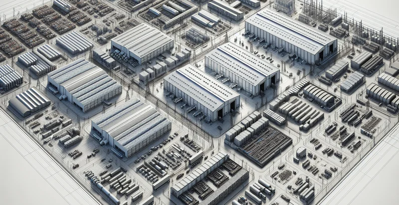
Identify aerial views of warehouses
using AI
Below is a free classifier to identify aerial views of warehouses. Just upload your image, and our AI will predict if a location has a warehouse or not - in just seconds.

Contact us for API access
Or, use Nyckel to build highly-accurate custom classifiers in just minutes. No PhD required.
Get started
    import nyckel

    credentials = nyckel.Credentials("YOUR_CLIENT_ID", "YOUR_CLIENT_SECRET")
    nyckel.invoke("aerial-views-of-warehouses", "your_image_url", credentials)
    fetch('https://www.nyckel.com/v1/functions/aerial-views-of-warehouses/invoke', {
        method: 'POST',
        headers: {
            'Authorization': 'Bearer ' + 'YOUR_BEARER_TOKEN',
            'Content-Type': 'application/json',
        },
        body: JSON.stringify(
            {"data": "your_image_url"}
        )
    })
    .then(response => response.json())
    .then(data => console.log(data));
    curl -X POST \
        -H "Content-Type: application/json" \
        -H "Authorization: Bearer YOUR_BEARER_TOKEN" \
        -d '{"data": "your_image_url"}' \
        https://www.nyckel.com/v1/functions/aerial-views-of-warehouses/invoke
How this classifier works
To start, upload your image. Our AI tool will then predict if a location has a warehouse or not.
This pretrained image model uses a Nyckel-created dataset and has 2 labels, including Empty Warehouses and Occupied Warehouses.
We'll also show a confidence score (the higher the number, the more confident the AI model is around if a location has a warehouse or not).
Whether you're just curious or building aerial views of warehouses detection into your application, we hope our classifier proves helpful.
Related Classifiers
Need to identify aerial views of warehouses at scale?
Get API or Zapier access to this classifier for free. It's perfect for:
- Inventory Management: This function can enhance inventory accuracy by providing real-time assessments of warehouse stock levels from aerial views. Automated identification of pallets and storage patterns can help logistics managers optimize storage and reduce overstock situations.
- Space Optimization Analysis: By analyzing aerial images, businesses can identify underutilized areas in warehouses. This insight allows for strategic reorganization and improved space usage, thus enhancing operational efficiency.
- Security Monitoring: Aerial view classification can be utilized to monitor unauthorized access or potential breaches in warehouse premises. Integrating this analysis into security systems can proactively prevent theft or vandalism.
- Environmental Compliance: This function can help ensure that warehouses comply with environmental regulations by monitoring areas such as waste disposal zones and hazardous material storage from above. Aerial imagery can highlight compliance issues that may require immediate attention.
- Fleet Optimization: By assessing the layout and density of material storage through aerial views, logistics companies can improve their vehicle routing and reduce transportation time within warehouses. This optimization leads to cost reductions and faster fulfillment times.
- Condition Assessment: Aerial classification can assist in evaluating the physical condition of warehouse infrastructure, such as roofs and loading docks. Identifying areas requiring maintenance in advance can help prevent costly repairs and increase logistical readiness.
- Planning and Expansion: Aerial views can play a crucial role in planning new warehouse locations or expansions by assessing surrounding land use, accessibility, and logistics infrastructure. This data-driven approach ensures that the new designs are optimally placed for operational efficiency.


