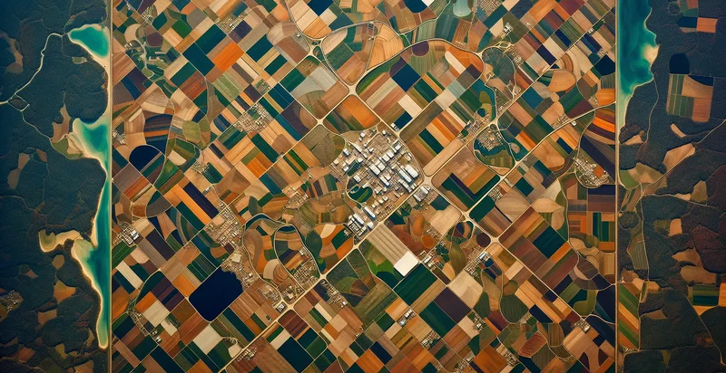
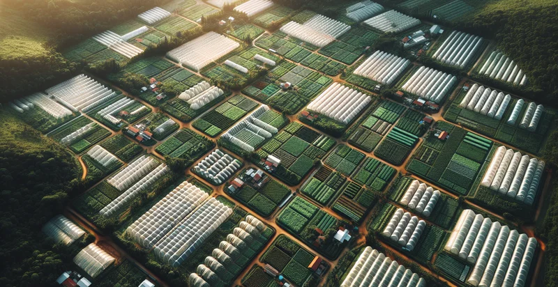
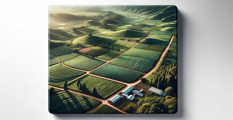
Identify aerial views of vineyards
using AI
Below is a free classifier to identify aerial views of vineyards. Just upload your image, and our AI will predict if the vineyard is healthy or not - in just seconds.

Contact us for API access
Or, use Nyckel to build highly-accurate custom classifiers in just minutes. No PhD required.
Get started
    import nyckel

    credentials = nyckel.Credentials("YOUR_CLIENT_ID", "YOUR_CLIENT_SECRET")
    nyckel.invoke("aerial-views-of-vineyards", "your_image_url", credentials)
    fetch('https://www.nyckel.com/v1/functions/aerial-views-of-vineyards/invoke', {
        method: 'POST',
        headers: {
            'Authorization': 'Bearer ' + 'YOUR_BEARER_TOKEN',
            'Content-Type': 'application/json',
        },
        body: JSON.stringify(
            {"data": "your_image_url"}
        )
    })
    .then(response => response.json())
    .then(data => console.log(data));
    curl -X POST \
        -H "Content-Type: application/json" \
        -H "Authorization: Bearer YOUR_BEARER_TOKEN" \
        -d '{"data": "your_image_url"}' \
        https://www.nyckel.com/v1/functions/aerial-views-of-vineyards/invoke
How this classifier works
To start, upload your image. Our AI tool will then predict if the vineyard is healthy or not.
This pretrained image model uses a Nyckel-created dataset and has 2 labels, including Damaged Vineyards and Healthy Vineyards.
We'll also show a confidence score (the higher the number, the more confident the AI model is around if the vineyard is healthy or not).
Whether you're just curious or building aerial views of vineyards detection into your application, we hope our classifier proves helpful.
Related Classifiers
Need to identify aerial views of vineyards at scale?
Get API or Zapier access to this classifier for free. It's perfect for:
- Vineyard Health Monitoring: This function can be utilized by vineyard managers to assess the health of their crops from aerial views. By identifying areas of concern such as discoloration or sparse growth, decisions can be made to target specific sections for irrigation or pest control.
- Yield Prediction: The aerial view classification can help in estimating grape yield potential by assessing vineyard density and coverage. This data can inform financial forecasting, inventory management, and production planning for wineries.
- Land Acquisition Analysis: Real estate developers and wine investors can use the classification to evaluate prospective vineyards. By identifying and analyzing the layout and health of existing vineyards, they can make informed purchasing or leasing decisions.
- Tourism Development: Tourism boards and local businesses can employ aerial classification to promote and develop vineyard tourism. By highlighting the beauty and scale of vineyards, they can attract visitors for tours, tastings, and events.
- Sustainability Reporting: Wineries and agricultural organizations can leverage this function for sustainability initiatives. By monitoring vineyard conditions over time, they can report on practices such as organic farming or water conservation efforts, enhancing their brand reputation.
- Precision Agriculture Optimization: Farmers can integrate aerial classification technology to implement precision agriculture techniques. This can optimize resource use, like fertilizers and water, by precisely targeting areas in the vineyard that require specific treatment based on aerial assessments.
- Market Trend Analysis: Market analysts can utilize aerial views to track industry trends in vineyard locations and varieties. By identifying emerging regions and grape types through systematic analysis of aerial images, businesses can adapt their strategies to meet changing consumer preferences.


