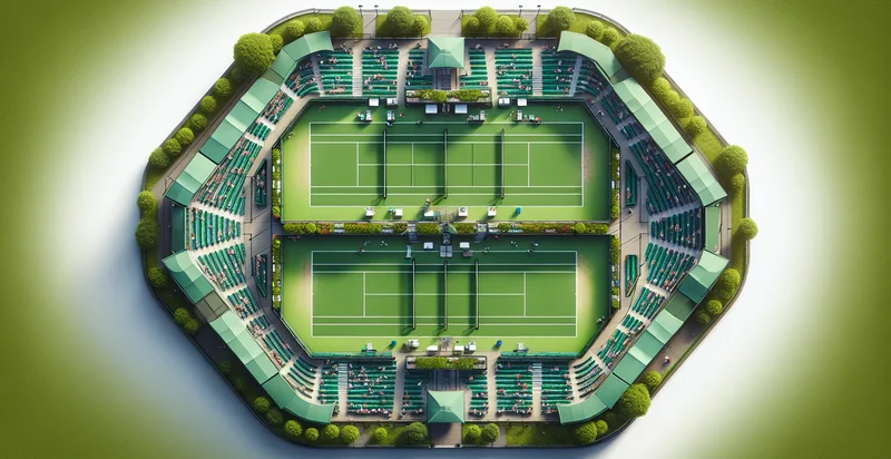
Identify aerial views of tennis courts
using AI
Below is a free classifier to identify aerial views of tennis courts. Just upload your image, and our AI will predict if the image shows a tennis court - in just seconds.

Contact us for API access
Or, use Nyckel to build highly-accurate custom classifiers in just minutes. No PhD required.
Get started
    import nyckel

    credentials = nyckel.Credentials("YOUR_CLIENT_ID", "YOUR_CLIENT_SECRET")
    nyckel.invoke("aerial-views-of-tennis-courts", "your_image_url", credentials)
    fetch('https://www.nyckel.com/v1/functions/aerial-views-of-tennis-courts/invoke', {
        method: 'POST',
        headers: {
            'Authorization': 'Bearer ' + 'YOUR_BEARER_TOKEN',
            'Content-Type': 'application/json',
        },
        body: JSON.stringify(
            {"data": "your_image_url"}
        )
    })
    .then(response => response.json())
    .then(data => console.log(data));
    curl -X POST \
        -H "Content-Type: application/json" \
        -H "Authorization: Bearer YOUR_BEARER_TOKEN" \
        -d '{"data": "your_image_url"}' \
        https://www.nyckel.com/v1/functions/aerial-views-of-tennis-courts/invoke
How this classifier works
To start, upload your image. Our AI tool will then predict if the image shows a tennis court.
This pretrained image model uses a Nyckel-created dataset and has 2 labels, including Empty Court and Occupied Court.
We'll also show a confidence score (the higher the number, the more confident the AI model is around if the image shows a tennis court).
Whether you're just curious or building aerial views of tennis courts detection into your application, we hope our classifier proves helpful.
Related Classifiers
Need to identify aerial views of tennis courts at scale?
Get API or Zapier access to this classifier for free. It's perfect for:
- Property Value Assessment: This function can help real estate professionals identify the presence of tennis courts in aerial views, which can be a significant factor in property value. The analysis can provide data-driven insights into potential price increases for properties with or near tennis facilities.
- Sports Facility Planning: Local government and sports organizations can utilize this identifier to assess existing tennis court facilities in an area. This information can guide decisions on where to build new courts or upgrade existing ones based on community needs and participation levels.
- Environmental Impact Analysis: Environmental agencies can use this function to evaluate the impact of tennis courts on local ecosystems. By identifying where these courts are situated, they can assess land use patterns, biodiversity, and areas that may require restoration.
- Urban Development Monitoring: City planners can integrate this identifier into their urban development projects to ensure that adequate recreational facilities are maintained. Regular analysis can help track changes over time and ensure communities have access to sports amenities.
- Sports Marketing and Promotion: Marketing teams for tennis brands or events can use this technology to locate areas with existing tennis infrastructure. This data helps in targeting advertising efforts and promotional events in regions with a known interest in the sport.
- Community Engagement Initiatives: Organizations aiming to promote tennis at the grassroots level can utilize this function to find neighborhoods with tennis courts. This information can be pivotal in organizing community events, lessons, and tournaments to boost local engagement.
- Insurance Risk Assessment: Insurance companies can use the aerial classification of tennis courts to assess risks related to sports facilities. Understanding locations with tennis courts can help in evaluating policies for liability, property damage, or accidents associated with recreational activities.


