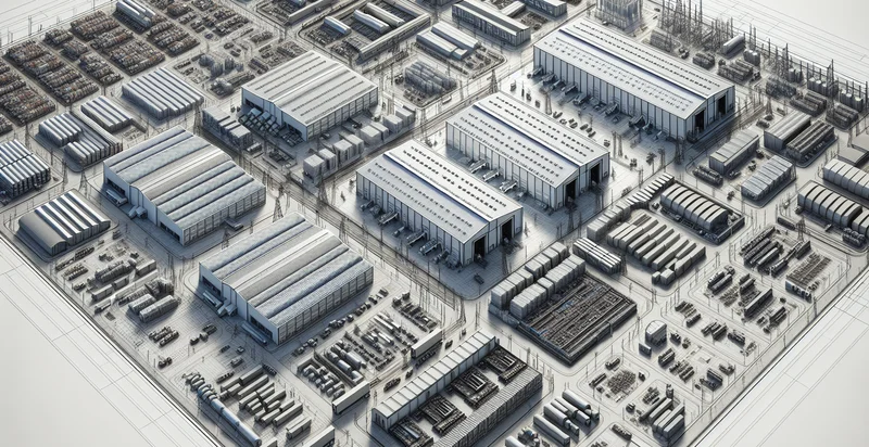
Identify aerial views of storage facilities
using AI
Below is a free classifier to identify aerial views of storage facilities. Just upload your image, and our AI will predict if the storage facility is full or empty - in just seconds.

Contact us for API access
Or, use Nyckel to build highly-accurate custom classifiers in just minutes. No PhD required.
Get started
    import nyckel

    credentials = nyckel.Credentials("YOUR_CLIENT_ID", "YOUR_CLIENT_SECRET")
    nyckel.invoke("aerial-views-of-storage-facilities", "your_image_url", credentials)
    fetch('https://www.nyckel.com/v1/functions/aerial-views-of-storage-facilities/invoke', {
        method: 'POST',
        headers: {
            'Authorization': 'Bearer ' + 'YOUR_BEARER_TOKEN',
            'Content-Type': 'application/json',
        },
        body: JSON.stringify(
            {"data": "your_image_url"}
        )
    })
    .then(response => response.json())
    .then(data => console.log(data));
    curl -X POST \
        -H "Content-Type: application/json" \
        -H "Authorization: Bearer YOUR_BEARER_TOKEN" \
        -d '{"data": "your_image_url"}' \
        https://www.nyckel.com/v1/functions/aerial-views-of-storage-facilities/invoke
How this classifier works
To start, upload your image. Our AI tool will then predict if the storage facility is full or empty.
This pretrained image model uses a Nyckel-created dataset and has 2 labels, including Occupied Storage and Vacant Storage.
We'll also show a confidence score (the higher the number, the more confident the AI model is around if the storage facility is full or empty).
Whether you're just curious or building aerial views of storage facilities detection into your application, we hope our classifier proves helpful.
Related Classifiers
Need to identify aerial views of storage facilities at scale?
Get API or Zapier access to this classifier for free. It's perfect for:
- Inventory Management: The aerial image classification function can help businesses manage inventory levels by providing real-time assessments of stock availability in storage facilities. By identifying empty and occupied storage areas, companies can optimize space utilization and reduce overstocking.
- Space Optimization: Businesses can leverage aerial views to analyze the layout of their storage facilities. This enables them to rearrange storage units for better access and workflow, ultimately enhancing overall operational efficiency.
- Logistical Planning: The aerial classification function can assist in logistical planning by identifying the best routes for the transportation of goods within storage facilities. It helps reduce bottlenecks and improves the speed of retrieving and storing items.
- Safety Compliance Monitoring: Aerial image analysis can be used to monitor compliance with safety regulations in storage facilities. By identifying hazards, obstructed pathways, or improper stacking, companies can take proactive measures to ensure the safety of their employees and assets.
- Site Selection for New Facilities: Companies can utilize aerial views to assess potential locations for new storage facilities. The classification function can provide insights into existing infrastructure, accessibility, and proximity to supply chains, aiding decision-making in site selection.
- Maintenance Scheduling: By analyzing aerial views, businesses can stay ahead of maintenance needs. Identifying areas showing signs of deterioration or overuse can trigger timely maintenance schedules, extending the lifespan of storage facilities.
- Disaster Risk Assessment: The aerial classification system can help in assessing the risk of natural disasters impacting storage facilities. By identifying vulnerable locations and historical patterns of floods, earthquakes, or fires, companies can develop more effective disaster recovery plans.


