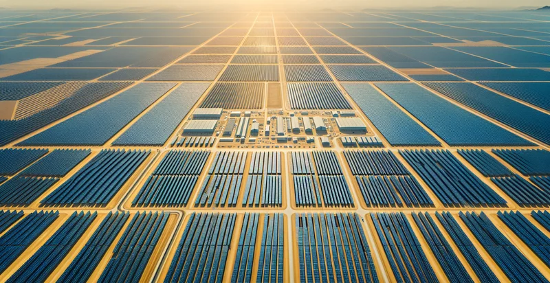
Identify aerial views of solar farms
using AI
Below is a free classifier to identify aerial views of solar farms. Just upload your image, and our AI will predict if the aerial view shows a solar farm or not - in just seconds.

Contact us for API access
Or, use Nyckel to build highly-accurate custom classifiers in just minutes. No PhD required.
Get started
    import nyckel

    credentials = nyckel.Credentials("YOUR_CLIENT_ID", "YOUR_CLIENT_SECRET")
    nyckel.invoke("aerial-views-of-solar-farms", "your_image_url", credentials)
    fetch('https://www.nyckel.com/v1/functions/aerial-views-of-solar-farms/invoke', {
        method: 'POST',
        headers: {
            'Authorization': 'Bearer ' + 'YOUR_BEARER_TOKEN',
            'Content-Type': 'application/json',
        },
        body: JSON.stringify(
            {"data": "your_image_url"}
        )
    })
    .then(response => response.json())
    .then(data => console.log(data));
    curl -X POST \
        -H "Content-Type: application/json" \
        -H "Authorization: Bearer YOUR_BEARER_TOKEN" \
        -d '{"data": "your_image_url"}' \
        https://www.nyckel.com/v1/functions/aerial-views-of-solar-farms/invoke
How this classifier works
To start, upload your image. Our AI tool will then predict if the aerial view shows a solar farm or not.
This pretrained image model uses a Nyckel-created dataset and has 2 labels, including Empty Land and Solar Panels.
We'll also show a confidence score (the higher the number, the more confident the AI model is around if the aerial view shows a solar farm or not).
Whether you're just curious or building aerial views of solar farms detection into your application, we hope our classifier proves helpful.
Related Classifiers
Need to identify aerial views of solar farms at scale?
Get API or Zapier access to this classifier for free. It's perfect for:
- Solar Farm Health Monitoring: This use case involves using aerial views to identify the condition of solar panels across various solar farms. By analyzing the images for signs of dirt, damage, or shading, operators can proactively schedule maintenance and ensure optimal energy production.
- Site Assessment for New Installations: Aerial imagery can aid in assessing potential sites for new solar farm installations. The identifier can evaluate land use, surrounding infrastructure, and environmental impacts, helping developers make informed decisions on site selection.
- Performance Benchmarking: By categorizing aerial images of solar farms, operators can compare performance metrics across different locations. This data can help identify best practices and improve operational efficiency in solar energy production.
- Insurance Assessments: Insurance companies can utilize aerial views to assess risk and damage for solar farms after adverse weather events. The classification function can help rapidly evaluate damage levels, streamlining the claims process for operators.
- Regulatory Compliance: Aerial classification can aid regulatory bodies in monitoring solar farms to ensure compliance with local and environmental regulations. This use case allows for efficient tracking of farm expansions, environmental impact assessments, and adherence to guidelines.
- Investment Analysis: Investors can leverage aerial views of solar farms to analyze the viability of solar projects. By understanding spatial relationships and visual indicators of farm activity, they can make data-driven investment decisions and assess market potential.
- Community Engagement and Education: Organizations can utilize aerial imagery to create visual reports for community stakeholders, demonstrating the presence and benefits of solar farms. By showcasing the farms from above, they can enhance public relations and educate the community about solar energy initiatives.


