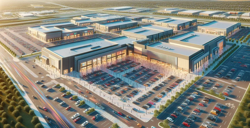
Identify aerial views of shopping centers
using AI
Below is a free classifier to identify aerial views of shopping centers. Just upload your image, and our AI will predict if it's a shopping center - in just seconds.

Contact us for API access
Or, use Nyckel to build highly-accurate custom classifiers in just minutes. No PhD required.
Get started
    import nyckel

    credentials = nyckel.Credentials("YOUR_CLIENT_ID", "YOUR_CLIENT_SECRET")
    nyckel.invoke("aerial-views-of-shopping-centers", "your_image_url", credentials)
    fetch('https://www.nyckel.com/v1/functions/aerial-views-of-shopping-centers/invoke', {
        method: 'POST',
        headers: {
            'Authorization': 'Bearer ' + 'YOUR_BEARER_TOKEN',
            'Content-Type': 'application/json',
        },
        body: JSON.stringify(
            {"data": "your_image_url"}
        )
    })
    .then(response => response.json())
    .then(data => console.log(data));
    curl -X POST \
        -H "Content-Type: application/json" \
        -H "Authorization: Bearer YOUR_BEARER_TOKEN" \
        -d '{"data": "your_image_url"}' \
        https://www.nyckel.com/v1/functions/aerial-views-of-shopping-centers/invoke
How this classifier works
To start, upload your image. Our AI tool will then predict if it's a shopping center.
This pretrained image model uses a Nyckel-created dataset and has 2 labels, including Busy Shopping Center and Empty Shopping Center.
We'll also show a confidence score (the higher the number, the more confident the AI model is around if it's a shopping center).
Whether you're just curious or building aerial views of shopping centers detection into your application, we hope our classifier proves helpful.
Related Classifiers
Need to identify aerial views of shopping centers at scale?
Get API or Zapier access to this classifier for free. It's perfect for:
- Retail Site Analysis: Businesses can utilize aerial image classification to identify shopping centers' layouts, tenant mix, and parking capacities. This analysis aids retailers in determining optimal locations for new stores based on current market dynamics.
- Urban Planning and Development: City planners can leverage this function to monitor the development and expansion of shopping centers within urban areas. It helps in assessing zoning requirements and understanding the impact of retail development on local economies and traffic patterns.
- Competitive Analysis: Companies can track competitors by classifying aerial views of shopping centers in specific regions. This information can guide strategic decisions concerning market entry, pricing strategies, and promotional campaigns based on competitors' proximity and offerings.
- Customer Accessibility Studies: By analyzing aerial views, businesses can evaluate accessibility to shopping centers for potential customers. This data can inform logistical planning and marketing strategies aimed at enhancing customer reach and convenience.
- Environmental Impact Assessment: Organizations can assess the environmental footprint of shopping centers by analyzing land usage and surrounding ecosystems from aerial images. It supports sustainability initiatives and helps in complying with environmental regulations.
- Real Estate Investment: Investors can use this classification tool to identify and analyze the performance potential of various shopping centers. Aerial views can reveal location advantages, traffic patterns, and nearby amenities critical to making informed investment decisions.
- Insurance Risk Assessment: Insurance companies can evaluate risks associated with shopping centers by analyzing aerial views for exposure to natural disasters and other hazards. This information aids in underwriting policies and determining premium rates based on risk factors.


