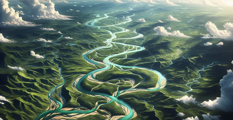
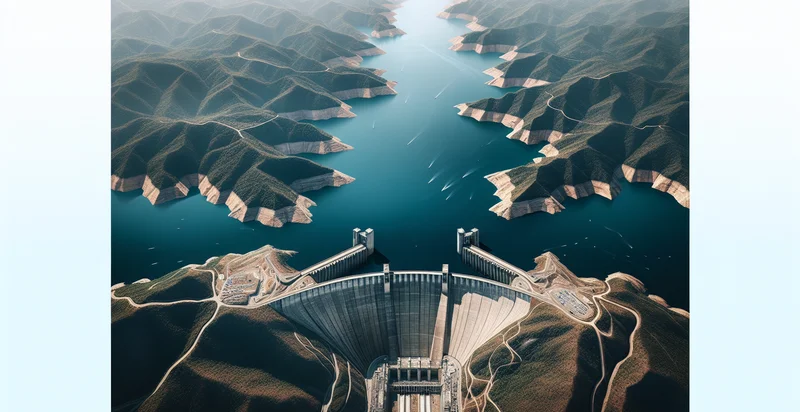
Identify aerial views of rivers
using AI
Below is a free classifier to identify aerial views of rivers. Just upload your image, and our AI will predict if the image shows a river or not - in just seconds.

Contact us for API access
Or, use Nyckel to build highly-accurate custom classifiers in just minutes. No PhD required.
Get started
    import nyckel

    credentials = nyckel.Credentials("YOUR_CLIENT_ID", "YOUR_CLIENT_SECRET")
    nyckel.invoke("aerial-views-of-rivers", "your_image_url", credentials)
    fetch('https://www.nyckel.com/v1/functions/aerial-views-of-rivers/invoke', {
        method: 'POST',
        headers: {
            'Authorization': 'Bearer ' + 'YOUR_BEARER_TOKEN',
            'Content-Type': 'application/json',
        },
        body: JSON.stringify(
            {"data": "your_image_url"}
        )
    })
    .then(response => response.json())
    .then(data => console.log(data));
    curl -X POST \
        -H "Content-Type: application/json" \
        -H "Authorization: Bearer YOUR_BEARER_TOKEN" \
        -d '{"data": "your_image_url"}' \
        https://www.nyckel.com/v1/functions/aerial-views-of-rivers/invoke
How this classifier works
To start, upload your image. Our AI tool will then predict if the image shows a river or not.
This pretrained image model uses a Nyckel-created dataset and has 2 labels, including Clear Water River and Muddy Water River.
We'll also show a confidence score (the higher the number, the more confident the AI model is around if the image shows a river or not).
Whether you're just curious or building aerial views of rivers detection into your application, we hope our classifier proves helpful.
Related Classifiers
Need to identify aerial views of rivers at scale?
Get API or Zapier access to this classifier for free. It's perfect for:
- Environmental Monitoring: This use case focuses on detecting changes in river ecosystems over time. By analyzing aerial views, organizations can assess the health of aquatic habitats, identify pollution sources, and monitor biodiversity, ultimately aiding in conservation efforts.
- Flood Risk Assessment: Aerial image classification can help identify river patterns and surrounding topographies to evaluate flood risks. This information is crucial for urban planning, emergency response strategies, and implementing preventative measures in flood-prone areas.
- Urban Development Planning: City planners can utilize aerial views to determine ideal locations for infrastructure projects near rivers. The classification function aids in ensuring developments are sustainable and do not negatively impact river ecosystems or floodplains.
- Water Resource Management: By classifying aerial images of rivers, water resource managers can track water flow and assess water availability. This data is essential for efficient water allocation, particularly in agriculture and urban areas reliant on river systems.
- Recreational Access Assessment: This use case involves evaluating river access points for recreational activities such as kayaking or fishing. Aerial views can help identify suitable access locations while considering environmental conservation and public safety.
- Infrastructure Inspection: Aerial image classification can assist in monitoring the condition of bridges, dams, and levees situated over rivers. This proactive approach allows for timely maintenance or repairs, improving infrastructure safety and longevity.
- Climate Change Impact Studies: Researchers can use aerial views to study the impact of climate change on river systems. By classifying changes in river flow, vegetation, and surrounding landscapes, they can better understand how climate shifts influence these vital ecosystems.


