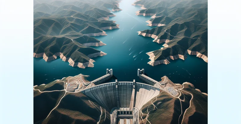
Identify aerial views of reservoirs
using AI
Below is a free classifier to identify aerial views of reservoirs. Just upload your image, and our AI will predict if it's a reservoir or not - in just seconds.

Contact us for API access
Or, use Nyckel to build highly-accurate custom classifiers in just minutes. No PhD required.
Get started
    import nyckel

    credentials = nyckel.Credentials("YOUR_CLIENT_ID", "YOUR_CLIENT_SECRET")
    nyckel.invoke("aerial-views-of-reservoirs", "your_image_url", credentials)
    fetch('https://www.nyckel.com/v1/functions/aerial-views-of-reservoirs/invoke', {
        method: 'POST',
        headers: {
            'Authorization': 'Bearer ' + 'YOUR_BEARER_TOKEN',
            'Content-Type': 'application/json',
        },
        body: JSON.stringify(
            {"data": "your_image_url"}
        )
    })
    .then(response => response.json())
    .then(data => console.log(data));
    curl -X POST \
        -H "Content-Type: application/json" \
        -H "Authorization: Bearer YOUR_BEARER_TOKEN" \
        -d '{"data": "your_image_url"}' \
        https://www.nyckel.com/v1/functions/aerial-views-of-reservoirs/invoke
How this classifier works
To start, upload your image. Our AI tool will then predict if it's a reservoir or not.
This pretrained image model uses a Nyckel-created dataset and has 2 labels, including Dry Reservoir and Full Reservoir.
We'll also show a confidence score (the higher the number, the more confident the AI model is around if it's a reservoir or not).
Whether you're just curious or building aerial views of reservoirs detection into your application, we hope our classifier proves helpful.
Related Classifiers
Need to identify aerial views of reservoirs at scale?
Get API or Zapier access to this classifier for free. It's perfect for:
- Water Quality Monitoring: Aerial image classification can identify different types of reservoirs, enabling environmental agencies to monitor water quality effectively. Recognizing variations in water color and surface conditions can indicate pollution levels or sediment accumulation.
- Flood Risk Assessment: Analyzing aerial views of reservoirs allows for the identification of their capacity and spillway conditions. This information is crucial for planners and emergency services to predict the impact of heavy rainfall and potential flooding in surrounding areas.
- Recreational Planning: Parks and recreation departments can utilize reservoir classification to develop strategies for recreational activities like fishing, boating, or camping. Understanding the characteristics of each reservoir will help in promoting the right amenities and activities to the public.
- Infrastructure Development: Urban planners and civil engineers can benefit from classifying reservoirs to make informed decisions about infrastructure projects. Knowing the locations and types of reservoirs aids in optimizing utility placements and flood management systems.
- Wildlife Habitat Monitoring: Conservation organizations can leverage aerial classification of reservoirs to monitor wildlife habitats that depend on these water sources. This data can inform conservation efforts and help track changes in biodiversity linked to reservoir conditions.
- Hydroelectric Power Management: Energy companies can analyze reservoir data from aerial views to optimize the operation of hydroelectric power plants. Understanding reservoir levels and flow conditions ensures efficient energy generation and distribution management.
- Drought Impact Analysis: Aerial classification of reservoirs can support agricultural analyses by identifying which reservoirs are at risk during prolonged droughts. This information is vital for farmers and policymakers to devise water conservation strategies and allocate water resources effectively.


