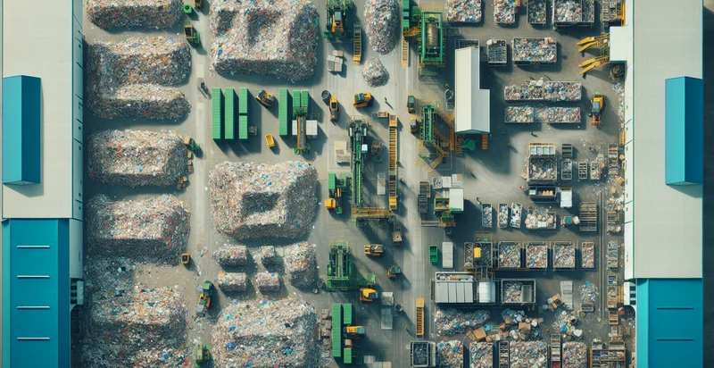
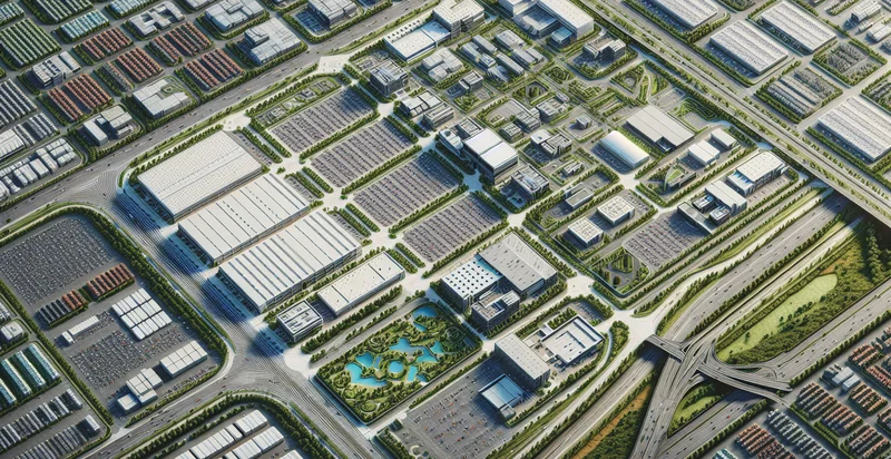
Identify aerial views of recycling centers
using AI
Below is a free classifier to identify aerial views of recycling centers. Just upload your image, and our AI will predict if it's a recycling center or not - in just seconds.

Contact us for API access
Or, use Nyckel to build highly-accurate custom classifiers in just minutes. No PhD required.
Get started
    import nyckel

    credentials = nyckel.Credentials("YOUR_CLIENT_ID", "YOUR_CLIENT_SECRET")
    nyckel.invoke("aerial-views-of-recycling-centers", "your_image_url", credentials)
    fetch('https://www.nyckel.com/v1/functions/aerial-views-of-recycling-centers/invoke', {
        method: 'POST',
        headers: {
            'Authorization': 'Bearer ' + 'YOUR_BEARER_TOKEN',
            'Content-Type': 'application/json',
        },
        body: JSON.stringify(
            {"data": "your_image_url"}
        )
    })
    .then(response => response.json())
    .then(data => console.log(data));
    curl -X POST \
        -H "Content-Type: application/json" \
        -H "Authorization: Bearer YOUR_BEARER_TOKEN" \
        -d '{"data": "your_image_url"}' \
        https://www.nyckel.com/v1/functions/aerial-views-of-recycling-centers/invoke
How this classifier works
To start, upload your image. Our AI tool will then predict if it's a recycling center or not.
This pretrained image model uses a Nyckel-created dataset and has 2 labels, including Active Recycling Center and Inactive Recycling Center.
We'll also show a confidence score (the higher the number, the more confident the AI model is around if it's a recycling center or not).
Whether you're just curious or building aerial views of recycling centers detection into your application, we hope our classifier proves helpful.
Related Classifiers
Need to identify aerial views of recycling centers at scale?
Get API or Zapier access to this classifier for free. It's perfect for:
- Site Evaluation: Aerial views of recycling centers can be classified to assess the layout and capacity of operations. This data can help city planners and waste management companies in evaluating the efficiency of existing facilities and making informed decisions about where to invest in enhancements or new locations.
- Environmental Impact Assessment: Identifying recycling centers from aerial imagery can assist in studies related to environmental impact. Researchers can analyze how the proximity of these centers affects surrounding ecosystems and source data for regulatory compliance reports.
- Infrastructure Development: By classifying aerial images of recycling centers, urban developers can identify necessary infrastructure improvements. This information can inform decisions on road construction, traffic flow improvements, and accessibility for waste collection vehicles.
- Waste Management Optimization: Companies in the waste management sector can use aerial image classification to optimize their collection routes. By understanding the locations and operational scales of recycling centers, they can streamline transportation logistics to reduce costs and emissions.
- Community Awareness Programs: Local governments can use identified recycling center data to enhance community engagement initiatives. By visualizing these centers through aerial imagery, they can create educational materials to promote recycling benefits and increase community participation.
- Capacity Monitoring: Over time, aerial image classification can provide data on the capacity and expansion of recycling centers. Monitoring these changes helps local authorities ascertain whether facilities are keeping pace with community needs and environmental goals.
- Comparative Analysis: Using aerial classification data, researchers and organizations can conduct comparative analyses between different recycling centers. This allows stakeholders to identify best practices in recycling operations, encouraging collaboration and improvement across the industry.


