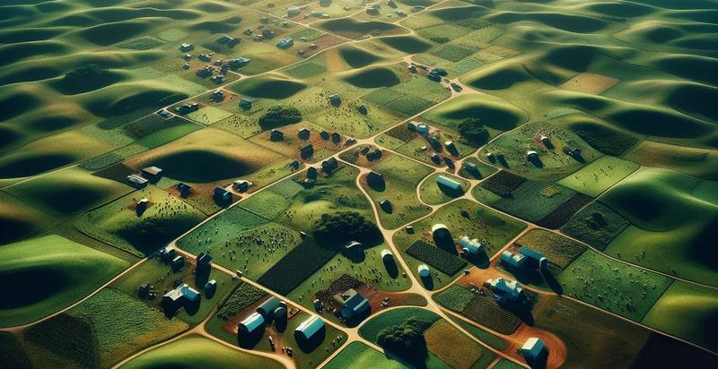
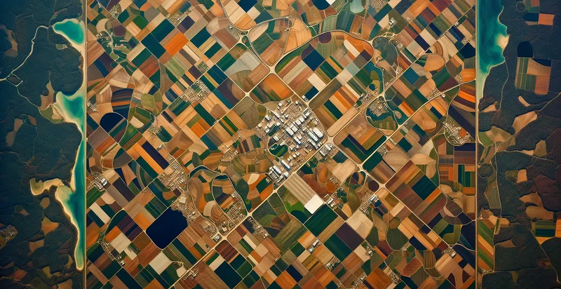
Identify aerial views of ranches
using AI
Below is a free classifier to identify aerial views of ranches. Just upload your image, and our AI will predict if the image depicts a ranch or not - in just seconds.

Contact us for API access
Or, use Nyckel to build highly-accurate custom classifiers in just minutes. No PhD required.
Get started
    import nyckel

    credentials = nyckel.Credentials("YOUR_CLIENT_ID", "YOUR_CLIENT_SECRET")
    nyckel.invoke("aerial-views-of-ranches", "your_image_url", credentials)
    fetch('https://www.nyckel.com/v1/functions/aerial-views-of-ranches/invoke', {
        method: 'POST',
        headers: {
            'Authorization': 'Bearer ' + 'YOUR_BEARER_TOKEN',
            'Content-Type': 'application/json',
        },
        body: JSON.stringify(
            {"data": "your_image_url"}
        )
    })
    .then(response => response.json())
    .then(data => console.log(data));
    curl -X POST \
        -H "Content-Type: application/json" \
        -H "Authorization: Bearer YOUR_BEARER_TOKEN" \
        -d '{"data": "your_image_url"}' \
        https://www.nyckel.com/v1/functions/aerial-views-of-ranches/invoke
How this classifier works
To start, upload your image. Our AI tool will then predict if the image depicts a ranch or not.
This pretrained image model uses a Nyckel-created dataset and has 2 labels, including Fenced Areas and Open Fields.
We'll also show a confidence score (the higher the number, the more confident the AI model is around if the image depicts a ranch or not).
Whether you're just curious or building aerial views of ranches detection into your application, we hope our classifier proves helpful.
Related Classifiers
Need to identify aerial views of ranches at scale?
Get API or Zapier access to this classifier for free. It's perfect for:
- Ranch Property Evaluation: This function can assist real estate agents by accurately identifying ranch properties in aerial views. It can streamline property assessments and facilitate better marketing strategies by providing potential buyers with a clear overview of available ranch lands.
- Land Management Analysis: Landowners can utilize this classification function to monitor the utilization and health of their ranch lands. By regularly analyzing aerial views, they can identify areas needing attention, such as overgrazing or improper land use, enabling better resource management.
- Wildlife Habitat Monitoring: Conservationists can employ this technology to identify ranch areas conducive to wildlife habitats. By classifying features such as vegetation, water sources, and landscape structures, they can develop targeted conservation efforts that promote biodiversity.
- Agricultural Planning and Optimization: Farmers can leverage this function to assess crop patterns and soil usage across their ranches. By analyzing aerial imagery, they can make data-driven decisions about crop rotation, irrigation methods, and overall land productivity.
- Insurance Risk Assessment: Insurance companies can use aerial views to evaluate ranch properties for risk assessment purposes. By identifying features like fences, barns, and land conditions, they can better assess liabilities and policy premiums for ranch owners.
- Infrastructure Development: Urban planners and developers can use the aerial classification to identify ranches suitable for development or conservation. This data can help in making informed decisions regarding land use, zoning, and environmental impact assessments.
- Disaster Response and Recovery: Emergency management teams can utilize this function to quickly identify ranch areas affected by natural disasters. By analyzing pre- and post-event aerial views, they can assess damage, allocate resources, and strategize recovery efforts effectively.


