Identify aerial views of race tracks
using AI
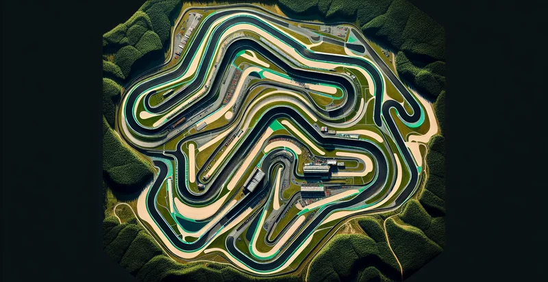
Below is a free classifier to identify aerial views of race tracks. Just upload your image, and our AI will predict if the view is of a race track - in just seconds.

Contact us for API access
Or, use Nyckel to build highly-accurate custom classifiers in just minutes. No PhD required.
Get started
    import nyckel

    credentials = nyckel.Credentials("YOUR_CLIENT_ID", "YOUR_CLIENT_SECRET")
    nyckel.invoke("aerial-views-of-race-tracks", "your_image_url", credentials)
    fetch('https://www.nyckel.com/v1/functions/aerial-views-of-race-tracks/invoke', {
        method: 'POST',
        headers: {
            'Authorization': 'Bearer ' + 'YOUR_BEARER_TOKEN',
            'Content-Type': 'application/json',
        },
        body: JSON.stringify(
            {"data": "your_image_url"}
        )
    })
    .then(response => response.json())
    .then(data => console.log(data));
    curl -X POST \
        -H "Content-Type: application/json" \
        -H "Authorization: Bearer YOUR_BEARER_TOKEN" \
        -d '{"data": "your_image_url"}' \
        https://www.nyckel.com/v1/functions/aerial-views-of-race-tracks/invoke
How this classifier works
To start, upload your image. Our AI tool will then predict if the view is of a race track.
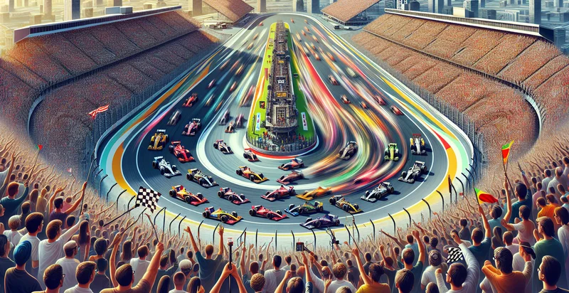
This pretrained image model uses a Nyckel-created dataset and has 2 labels, including With Cars and Without Cars.
We'll also show a confidence score (the higher the number, the more confident the AI model is around if the view is of a race track).
Whether you're just curious or building aerial views of race tracks detection into your application, we hope our classifier proves helpful.
Related Classifiers
Need to identify aerial views of race tracks at scale?
Get API or Zapier access to this classifier for free. It's perfect for:
- Event Planning and Management: This function can assist event organizers in assessing the suitability of various race tracks for upcoming events. By providing accurate identification of available race tracks from aerial views, planners can make informed decisions about venue selection, logistics, and spectator capacity.
- Marketing and Promotion: Businesses can leverage the aerial identifier to create targeted marketing campaigns for events hosted at specific tracks. By identifying and showcasing unique aspects of each race track, marketing teams can draw in larger audiences and enhance engagement with potential attendees.
- Safety and Inspection: Race track operators can utilize the identifier for regular inspections and maintenance assessments. Aerial imagery allows for thorough monitoring of the track's condition, helping to identify safety hazards and ensuring a secure environment for racers and fans.
- Environmental Impact Analysis: Environmental agencies and race track management can use the identifier to monitor and evaluate the ecological effects of racing events on surrounding areas. Analyzing aerial views can provide insights into land usage, potential pollution sources, and necessary conservation efforts.
- Performance Analysis: Racing teams can analyze race tracks' aerial views to optimize their strategies. Identifying track layouts and features from above helps teams evaluate their performance and make data-driven decisions regarding their approaches to different segments of the race.
- Real Estate Development: Real estate developers looking to invest in properties around race tracks can utilize the aerial view identifier to understand site potential. By analyzing proximity to race tracks and their layouts, developers can uncover lucrative opportunities for residential or commercial projects.
- Drone Delivery Services: Companies exploring autonomous drone deliveries can integrate the aerial identification function into their navigation systems. Recognizing race tracks from aerial views helps drones avoid congested areas during event days, optimizing delivery routes and timing for nearby customers.


