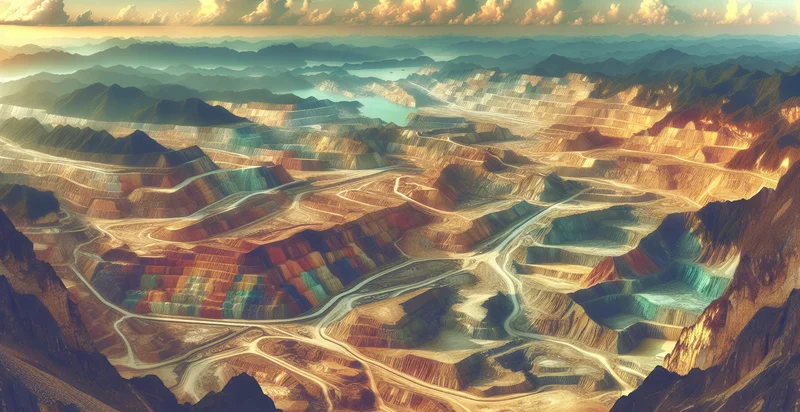
Identify aerial views of quarries
using AI
Below is a free classifier to identify aerial views of quarries. Just upload your image, and our AI will predict if the image depicts a quarry or not - in just seconds.

Contact us for API access
Or, use Nyckel to build highly-accurate custom classifiers in just minutes. No PhD required.
Get started
    import nyckel

    credentials = nyckel.Credentials("YOUR_CLIENT_ID", "YOUR_CLIENT_SECRET")
    nyckel.invoke("aerial-views-of-quarries", "your_image_url", credentials)
    fetch('https://www.nyckel.com/v1/functions/aerial-views-of-quarries/invoke', {
        method: 'POST',
        headers: {
            'Authorization': 'Bearer ' + 'YOUR_BEARER_TOKEN',
            'Content-Type': 'application/json',
        },
        body: JSON.stringify(
            {"data": "your_image_url"}
        )
    })
    .then(response => response.json())
    .then(data => console.log(data));
    curl -X POST \
        -H "Content-Type: application/json" \
        -H "Authorization: Bearer YOUR_BEARER_TOKEN" \
        -d '{"data": "your_image_url"}' \
        https://www.nyckel.com/v1/functions/aerial-views-of-quarries/invoke
How this classifier works
To start, upload your image. Our AI tool will then predict if the image depicts a quarry or not.
This pretrained image model uses a Nyckel-created dataset and has 2 labels, including Abandoned Quarry and Active Quarry.
We'll also show a confidence score (the higher the number, the more confident the AI model is around if the image depicts a quarry or not).
Whether you're just curious or building aerial views of quarries detection into your application, we hope our classifier proves helpful.
Related Classifiers
Need to identify aerial views of quarries at scale?
Get API or Zapier access to this classifier for free. It's perfect for:
- Environmental Monitoring: This function can be utilized to assess the ecological impact of quarrying activities. By analyzing aerial views, businesses can identify changes in land use, vegetation cover, and water bodies, providing crucial data for compliance with environmental regulations.
- Site Management: Aerial classification can streamline site management for quarry operators by helping them track the spatial extent and extraction stages of mineral resources. Accurate mapping of quarries allows for better planning and resource allocation, improving overall operational efficiency.
- Safety Compliance: The function can assist in monitoring quarries for safety compliance by detecting unregulated expansions or unsafe operations. Regular aerial assessments can prompt timely interventions to mitigate hazards and improve worker safety standards.
- Resource Estimation: Businesses can use aerial image classification to estimate available resources in a quarry. By analyzing the terrain and material distribution, firms can make data-driven decisions about extraction strategies and future investments.
- Infrastructure Planning: Accurate classification of aerial images helps in the planning of infrastructure around quarries, such as access roads and processing facilities. Understanding the topography and layout through aerial imagery aids in efficient planning and construction endeavors.
- Stakeholder Reporting: Quarry operators can leverage this function to generate detailed reports for stakeholders, including investors and local communities. Providing visual proof of compliance, resource management, and environmental impact enhances transparency and trust.
- Competitive Analysis: Aerial imagery can be employed to monitor competitor activities within the quarry sector. By analyzing changes over time, businesses can gauge market trends, assess competitive positions, and identify potential mergers or acquisition targets.


