Identify aerial views of prairies
using AI
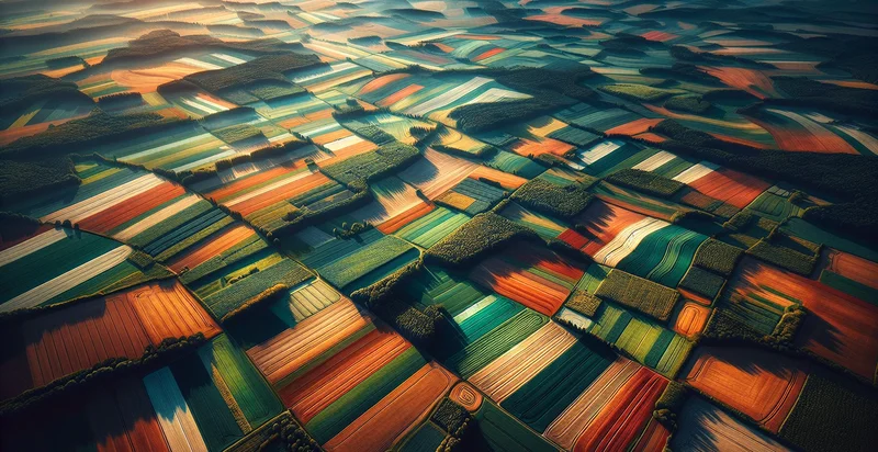
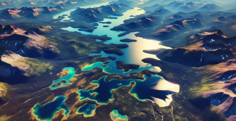
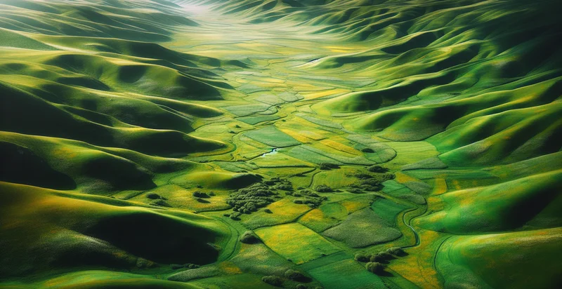
Below is a free classifier to identify aerial views of prairies. Just upload your image, and our AI will predict if the image shows a prairie landscape - in just seconds.

Contact us for API access
Or, use Nyckel to build highly-accurate custom classifiers in just minutes. No PhD required.
Get started
    import nyckel

    credentials = nyckel.Credentials("YOUR_CLIENT_ID", "YOUR_CLIENT_SECRET")
    nyckel.invoke("aerial-views-of-prairies", "your_image_url", credentials)
    fetch('https://www.nyckel.com/v1/functions/aerial-views-of-prairies/invoke', {
        method: 'POST',
        headers: {
            'Authorization': 'Bearer ' + 'YOUR_BEARER_TOKEN',
            'Content-Type': 'application/json',
        },
        body: JSON.stringify(
            {"data": "your_image_url"}
        )
    })
    .then(response => response.json())
    .then(data => console.log(data));
    curl -X POST \
        -H "Content-Type: application/json" \
        -H "Authorization: Bearer YOUR_BEARER_TOKEN" \
        -d '{"data": "your_image_url"}' \
        https://www.nyckel.com/v1/functions/aerial-views-of-prairies/invoke
How this classifier works
To start, upload your image. Our AI tool will then predict if the image shows a prairie landscape.
This pretrained image model uses a Nyckel-created dataset and has 2 labels, including Open Prairie and Urban Area.
We'll also show a confidence score (the higher the number, the more confident the AI model is around if the image shows a prairie landscape).
Whether you're just curious or building aerial views of prairies detection into your application, we hope our classifier proves helpful.
Related Classifiers
Need to identify aerial views of prairies at scale?
Get API or Zapier access to this classifier for free. It's perfect for:
- Agricultural Monitoring: The aerial views of prairies identifier can be utilized by farmers and agricultural organizations to monitor crop health and soil conditions. By analyzing the imagery, stakeholders can assess productivity and detect areas requiring irrigation or fertilization, thus optimizing yields.
- Environmental Conservation: Conservation groups can use the classification function to assess prairie ecosystems and monitor biodiversity. By identifying different prairie landscapes, they can track changes over time, facilitating conservation efforts and habitat restoration projects.
- Land Use Planning: Urban planners can leverage this function to understand land use patterns and make informed decisions about zoning and development. By analyzing aerial images of prairies, they can identify suitable areas for building or conservation, ensuring sustainable growth.
- Wildlife Habitat Management: Wildlife researchers can use the aerial view analysis to identify suitable habitats for various species residing in prairie regions. This information can inform management strategies aimed at preserving or enhancing wildlife populations and their habitats.
- Climate Change Studies: Researchers studying the impacts of climate change can employ the identifier to track changes in prairie lands over time. This data can contribute to understanding how shifts in climate affect prairie ecosystems and inform related research initiatives.
- Tourism Development: The tourism industry can utilize the aerial prairie identifier to identify and promote areas attractive for nature tourism. By highlighting unique prairie landscapes, tourism organizations can attract visitors interested in outdoor activities and ecotourism experiences.
- Drones and Remote Sensing Applications: Companies utilizing drone technology can implement this classification function to enhance data collection in prairie regions. This improvement allows for more accurate analysis of land conditions, vegetation health, and resource management, enhancing the utility of aerial data.


