Identify aerial views of ports
using AI
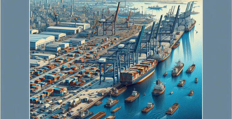
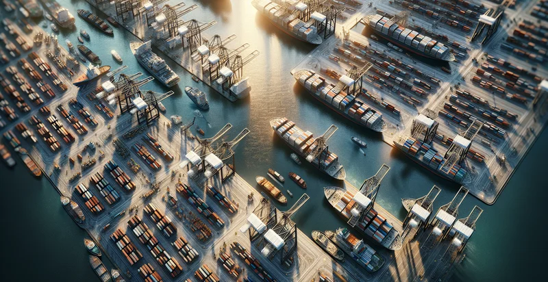
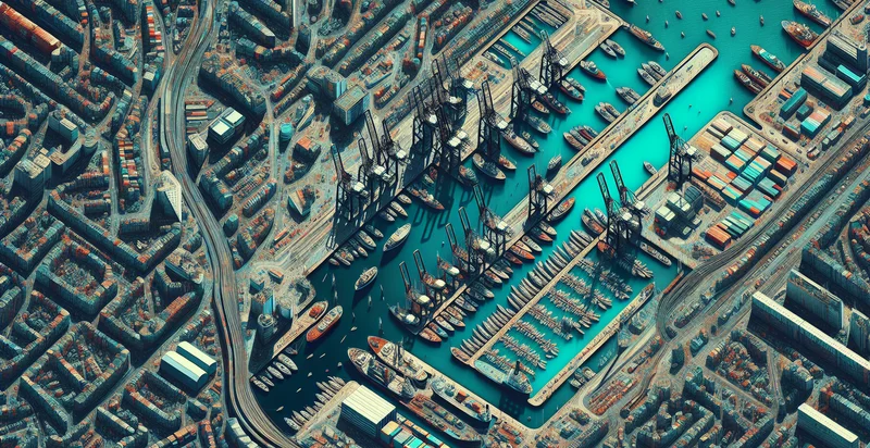
Below is a free classifier to identify aerial views of ports. Just upload your image, and our AI will predict if the image depicts a port or not - in just seconds.

Contact us for API access
Or, use Nyckel to build highly-accurate custom classifiers in just minutes. No PhD required.
Get started
    import nyckel

    credentials = nyckel.Credentials("YOUR_CLIENT_ID", "YOUR_CLIENT_SECRET")
    nyckel.invoke("aerial-views-of-ports", "your_image_url", credentials)
    fetch('https://www.nyckel.com/v1/functions/aerial-views-of-ports/invoke', {
        method: 'POST',
        headers: {
            'Authorization': 'Bearer ' + 'YOUR_BEARER_TOKEN',
            'Content-Type': 'application/json',
        },
        body: JSON.stringify(
            {"data": "your_image_url"}
        )
    })
    .then(response => response.json())
    .then(data => console.log(data));
    curl -X POST \
        -H "Content-Type: application/json" \
        -H "Authorization: Bearer YOUR_BEARER_TOKEN" \
        -d '{"data": "your_image_url"}' \
        https://www.nyckel.com/v1/functions/aerial-views-of-ports/invoke
How this classifier works
To start, upload your image. Our AI tool will then predict if the image depicts a port or not.
This pretrained image model uses a Nyckel-created dataset and has 2 labels, including Commercial Port and Fishing Port.
We'll also show a confidence score (the higher the number, the more confident the AI model is around if the image depicts a port or not).
Whether you're just curious or building aerial views of ports detection into your application, we hope our classifier proves helpful.
Related Classifiers
Need to identify aerial views of ports at scale?
Get API or Zapier access to this classifier for free. It's perfect for:
- Port Traffic Monitoring: The aerial views of ports can be analyzed to monitor vessel traffic and activity levels. By identifying and classifying ships at the port, logistics companies can optimize scheduling and improve turnaround times, leading to enhanced operational efficiency.
- Infrastructure Planning: Identifying and classifying different port structures from aerial imagery allows urban planners and civil engineers to evaluate existing infrastructure. This information is essential for planning expansions, renovations, or the construction of new facilities to accommodate growing trade demands.
- Environmental Impact Assessment: Aerial image classification can assist environmental agencies in assessing the impact of port operations on local ecosystems. By identifying areas of pollution or habitat disruption, stakeholders can take action to mitigate negative effects and enhance sustainability practices.
- Security and Surveillance: Utilizing aerial views of ports can enhance security protocols by monitoring vessel movements and unauthorized access points. Security firms can leverage this information to identify potential threats and respond quickly to incidents, ensuring the safety of port operations.
- Real Estate Development: Real estate developers can utilize classified aerial imagery to identify proximity to ports for potential commercial or residential projects. Understanding port activities and logistics can inform investment decisions and contribute to site selection processes.
- Emergency Response Planning: Aerial classification serves as a valuable tool for emergency management agencies to assess port facilities during natural disasters or emergencies. This information aids in developing effective response strategies and logistics for evacuation or aid distribution.
- Historical Data Analysis: By classifying aerial views over time, researchers can analyze trends in port development and activity. This historical perspective can provide insights into economic shifts and trade patterns, valuable for academic studies and policy-making.


