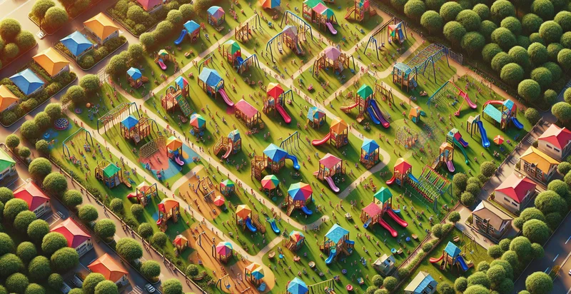
Identify aerial views of playgrounds
using AI
Below is a free classifier to identify aerial views of playgrounds. Just upload your image, and our AI will predict if the aerial view shows a playground or not - in just seconds.


Contact us for API access
Or, use Nyckel to build highly-accurate custom classifiers in just minutes. No PhD required.
Get started
    import nyckel

    credentials = nyckel.Credentials("YOUR_CLIENT_ID", "YOUR_CLIENT_SECRET")
    nyckel.invoke("aerial-views-of-playgrounds", "your_image_url", credentials)
    fetch('https://www.nyckel.com/v1/functions/aerial-views-of-playgrounds/invoke', {
        method: 'POST',
        headers: {
            'Authorization': 'Bearer ' + 'YOUR_BEARER_TOKEN',
            'Content-Type': 'application/json',
        },
        body: JSON.stringify(
            {"data": "your_image_url"}
        )
    })
    .then(response => response.json())
    .then(data => console.log(data));
    curl -X POST \
        -H "Content-Type: application/json" \
        -H "Authorization: Bearer YOUR_BEARER_TOKEN" \
        -d '{"data": "your_image_url"}' \
        https://www.nyckel.com/v1/functions/aerial-views-of-playgrounds/invoke
How this classifier works
To start, upload your image. Our AI tool will then predict if the aerial view shows a playground or not.
This pretrained image model uses a Nyckel-created dataset and has 2 labels, including Empty Playground and Playground With Kids.
We'll also show a confidence score (the higher the number, the more confident the AI model is around if the aerial view shows a playground or not).
Whether you're just curious or building aerial views of playgrounds detection into your application, we hope our classifier proves helpful.
Related Classifiers
Need to identify aerial views of playgrounds at scale?
Get API or Zapier access to this classifier for free. It's perfect for:
- Urban Planning Enhancement: Urban planners can utilize this image classification function to identify playground locations within aerial views, allowing for informed decision-making regarding the development of new parks and community spaces. This information can help in assessing accessibility and ensuring equitable distribution of recreational facilities across different neighborhoods.
- Safety Monitoring: Local governments can implement the image classification system to monitor playgrounds from the air for safety concerns. By analyzing aerial images, officials can quickly identify neglected or vandalized equipment that requires maintenance or removal to ensure child safety.
- Community Engagement: Nonprofit organizations focused on children's health and wellness can leverage aerial image classification to highlight the availability of recreational options in various communities. This data can help in organizing community events or campaigns that encourage outdoor activities, boosting engagement and usage rates of local playgrounds.
- Environmental Impact Assessment: Environmental agencies can use this classification to study the ecological impact of playground installations. Understanding the density and distribution of playgrounds through aerial views can aid in assessing effects on local wildlife and green space within urban environments.
- Insurance Risk Evaluation: Insurance companies can use aerial image classification of playgrounds to evaluate risks associated with providing coverage for public recreational areas. By analyzing the condition, location, and density of playgrounds, insurers can more accurately assess potential claims related to injuries and property damage.
- Smart City Development: Municipalities can utilize image classification systems to integrate playground identification into smart city initiatives. Data collected can drive smarter resource allocations and enhancements to urban infrastructure, ensuring playgrounds meet community needs through real-time monitoring.
- Educational Resource Mapping: Educational institutions can utilize this function to map playgrounds in relation to schools, helping to understand the accessible outdoor spaces available for children and families in proximity to educational facilities. This can facilitate better programming for physical education and after-school activities, promoting overall child well-being.


