Identify aerial views of plantations
using AI
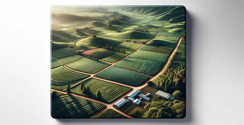
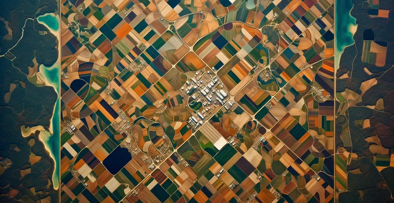
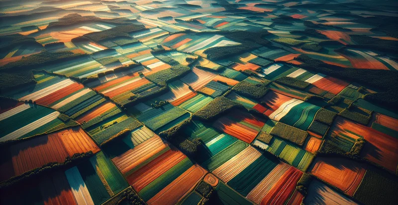
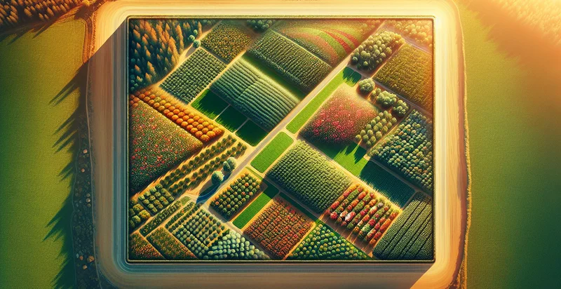
Below is a free classifier to identify aerial views of plantations. Just upload your image, and our AI will predict if the aerial view shows a healthy or unhealthy plantation - in just seconds.


Contact us for API access
Or, use Nyckel to build highly-accurate custom classifiers in just minutes. No PhD required.
Get started
    import nyckel

    credentials = nyckel.Credentials("YOUR_CLIENT_ID", "YOUR_CLIENT_SECRET")
    nyckel.invoke("aerial-views-of-plantations", "your_image_url", credentials)
    fetch('https://www.nyckel.com/v1/functions/aerial-views-of-plantations/invoke', {
        method: 'POST',
        headers: {
            'Authorization': 'Bearer ' + 'YOUR_BEARER_TOKEN',
            'Content-Type': 'application/json',
        },
        body: JSON.stringify(
            {"data": "your_image_url"}
        )
    })
    .then(response => response.json())
    .then(data => console.log(data));
    curl -X POST \
        -H "Content-Type: application/json" \
        -H "Authorization: Bearer YOUR_BEARER_TOKEN" \
        -d '{"data": "your_image_url"}' \
        https://www.nyckel.com/v1/functions/aerial-views-of-plantations/invoke
How this classifier works
To start, upload your image. Our AI tool will then predict if the aerial view shows a healthy or unhealthy plantation.
This pretrained image model uses a Nyckel-created dataset and has 2 labels, including Empty Plantation and Full Plantation.
We'll also show a confidence score (the higher the number, the more confident the AI model is around if the aerial view shows a healthy or unhealthy plantation).
Whether you're just curious or building aerial views of plantations detection into your application, we hope our classifier proves helpful.
Related Classifiers
Need to identify aerial views of plantations at scale?
Get API or Zapier access to this classifier for free. It's perfect for:
- Crop Health Monitoring: This use case involves identifying areas of stress or disease in aerial views of plantations. By classifying images, agriculturalists can pinpoint sections that require intervention, enabling timely treatments and optimizing yield.
- Yield Estimation: Aerial image classification can help estimate potential crop yields by analyzing the density and health of plants. Farmers and agronomists can use this data to make informed decisions on resource allocation and harvest planning.
- Precision Agriculture: Utilizing aerial views, farmers can implement precise farming techniques tailored to the needs of specific areas within their fields. Classifying plantations allows for targeted application of fertilizers, pesticides, and irrigation, enhancing sustainability and efficiency.
- Land Use Planning: Government agencies and agricultural planners can employ aerial image classification to assess land usage trends in plantation regions. This data supports effective policy-making and sustainable land management practices by identifying deforested or underutilized areas.
- Environmental Impact Assessment: Environmental scientists can use classified aerial images to study the effects of plantation agriculture on surrounding ecosystems. Understanding spatial dynamics can help in assessing biodiversity loss, soil erosion, and water quality.
- Climate Change Research: By analyzing changes in plantation areas over time through classified aerial imagery, researchers can study the impact of climate change on agricultural production. This data provides insights into crop adaptability and long-term sustainability strategies.
- Insurance Risk Assessment: Insurance companies can use aerial views to assess risk levels associated with plantations for coverage purposes. By classifying plantation health and geography, they can better evaluate potential claims and develop appropriate insurance products.


