Identify aerial views of orchards
using AI
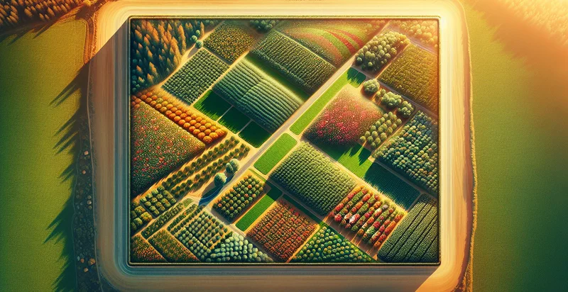
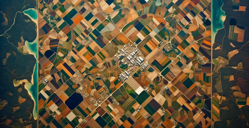
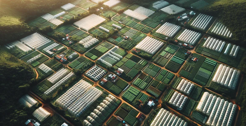
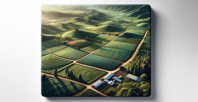
Below is a free classifier to identify aerial views of orchards. Just upload your image, and our AI will predict if the aerial view shows orchards or not - in just seconds.

Contact us for API access
Or, use Nyckel to build highly-accurate custom classifiers in just minutes. No PhD required.
Get started
    import nyckel

    credentials = nyckel.Credentials("YOUR_CLIENT_ID", "YOUR_CLIENT_SECRET")
    nyckel.invoke("aerial-views-of-orchards", "your_image_url", credentials)
    fetch('https://www.nyckel.com/v1/functions/aerial-views-of-orchards/invoke', {
        method: 'POST',
        headers: {
            'Authorization': 'Bearer ' + 'YOUR_BEARER_TOKEN',
            'Content-Type': 'application/json',
        },
        body: JSON.stringify(
            {"data": "your_image_url"}
        )
    })
    .then(response => response.json())
    .then(data => console.log(data));
    curl -X POST \
        -H "Content-Type: application/json" \
        -H "Authorization: Bearer YOUR_BEARER_TOKEN" \
        -d '{"data": "your_image_url"}' \
        https://www.nyckel.com/v1/functions/aerial-views-of-orchards/invoke
How this classifier works
To start, upload your image. Our AI tool will then predict if the aerial view shows orchards or not.
This pretrained image model uses a Nyckel-created dataset and has 2 labels, including Healthy Orchards and Unhealthy Orchards.
We'll also show a confidence score (the higher the number, the more confident the AI model is around if the aerial view shows orchards or not).
Whether you're just curious or building aerial views of orchards detection into your application, we hope our classifier proves helpful.
Related Classifiers
Need to identify aerial views of orchards at scale?
Get API or Zapier access to this classifier for free. It's perfect for:
- Crop Health Monitoring: This use case involves utilizing the aerial views of orchards to assess the health of trees through image classification. Farmers can identify areas of stress or disease in their orchards, enabling them to take timely actions to improve yield and reduce losses.
- Yield Prediction: By analyzing aerial imagery, this function can help in forecasting fruit yield for specific orchard sections based on tree density and health. This data can aid farmers in making informed decisions about labor needs and resource allocation.
- Pest and Disease Management: The image classification function can spot early signs of pest infestations or diseases in orchards. By identifying affected areas promptly, farmers can implement targeted pest control measures, ultimately leading to less chemical usage and improved sustainability.
- Irrigation Efficiency Assessment: This use case involves evaluating the water distribution across an orchard through analyzed aerial images. Farmers can identify areas that are over or under-watered, allowing for optimized irrigation practices that conserve water and enhance plant health.
- Land Use Planning: Aerial views can assist agricultural planners and local governments in understanding land use patterns and planning for future orchard developments. By analyzing various orchard layouts, stakeholders can make better-informed decisions on land management strategies.
- Insurance Assessment: In the event of natural disasters such as floods or storms, this function can aid insurance companies in quickly assessing damage to orchards. Accurate imagery can facilitate faster claims processing and better risk management assessments.
- Research and Development: Agricultural researchers can utilize aerial classification to study how different cultivation practices affect orchard productivity. Insights gained from this data can lead to improved agricultural methods, fostering innovation and more resilient farming practices.


