Identify aerial views of neighborhoods
using AI
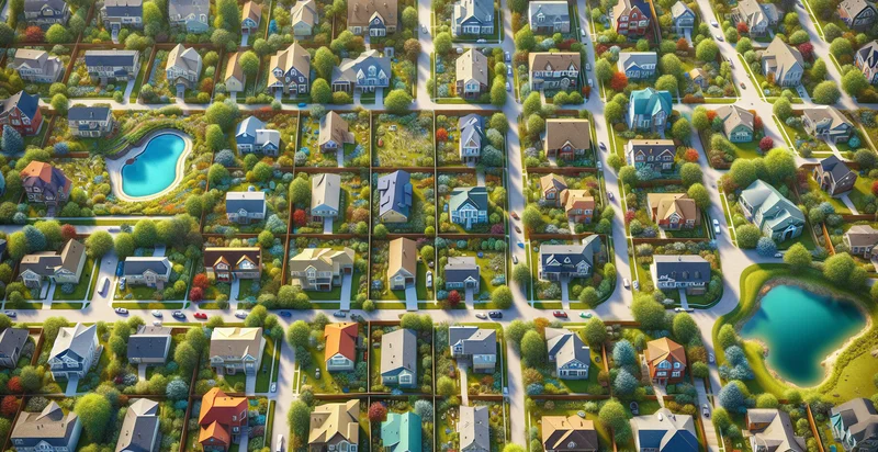
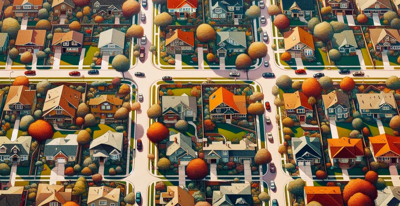
Below is a free classifier to identify aerial views of neighborhoods. Just upload your image, and our AI will predict if the neighborhood is urban or suburban - in just seconds.

Contact us for API access
Or, use Nyckel to build highly-accurate custom classifiers in just minutes. No PhD required.
Get started
    import nyckel

    credentials = nyckel.Credentials("YOUR_CLIENT_ID", "YOUR_CLIENT_SECRET")
    nyckel.invoke("aerial-views-of-neighborhoods", "your_image_url", credentials)
    fetch('https://www.nyckel.com/v1/functions/aerial-views-of-neighborhoods/invoke', {
        method: 'POST',
        headers: {
            'Authorization': 'Bearer ' + 'YOUR_BEARER_TOKEN',
            'Content-Type': 'application/json',
        },
        body: JSON.stringify(
            {"data": "your_image_url"}
        )
    })
    .then(response => response.json())
    .then(data => console.log(data));
    curl -X POST \
        -H "Content-Type: application/json" \
        -H "Authorization: Bearer YOUR_BEARER_TOKEN" \
        -d '{"data": "your_image_url"}' \
        https://www.nyckel.com/v1/functions/aerial-views-of-neighborhoods/invoke
How this classifier works
To start, upload your image. Our AI tool will then predict if the neighborhood is urban or suburban.
This pretrained image model uses a Nyckel-created dataset and has 2 labels, including Rural Neighborhood and Urban Neighborhood.
We'll also show a confidence score (the higher the number, the more confident the AI model is around if the neighborhood is urban or suburban).
Whether you're just curious or building aerial views of neighborhoods detection into your application, we hope our classifier proves helpful.
Related Classifiers
Need to identify aerial views of neighborhoods at scale?
Get API or Zapier access to this classifier for free. It's perfect for:
- Urban Development Planning: This function can assist city planners and developers in assessing neighborhoods from aerial views, identifying land use, and potential areas for development. By accurately classifying images, stakeholders can make informed decisions on zoning and resource allocation.
- Real Estate Assessment: Real estate agents and companies can utilize aerial image classification to analyze neighborhood characteristics and property values. This information can enhance property listings and provide clients with a better understanding of the local market trends.
- Disaster Management: Emergency services can use aerial imagery to identify affected neighborhoods in the event of a disaster. By classifying different areas, they can prioritize resources and ensure the timely response to affected communities.
- Environmental Monitoring: Researchers can leverage this technology to monitor urban ecosystems and assess the impact of human activity on vegetation and landscapes. By classifying neighborhoods, they can gauge the effectiveness of conservation efforts and urban green spaces.
- Crime Analysis: Law enforcement can use classified aerial views to analyze crime trends in specific neighborhoods. This function can help in strategizing patrol routes and resource distribution by highlighting areas that may need increased attention.
- Infrastructure Development: Utility companies can utilize aerial image classification to assess the infrastructure needs of different neighborhoods. This can help in planning upgrades to essential services such as water, electricity, and internet, ensuring that these services meet the growing demands of residents.
- Community Engagement: Local governments and organizations can use classified aerial views to promote community engagement. By sharing aerial images, they can facilitate discussions on neighborhood improvements, create awareness of urban issues, and foster collaboration among residents to enhance their living environment.


