Identify aerial views of nature preserves
using AI
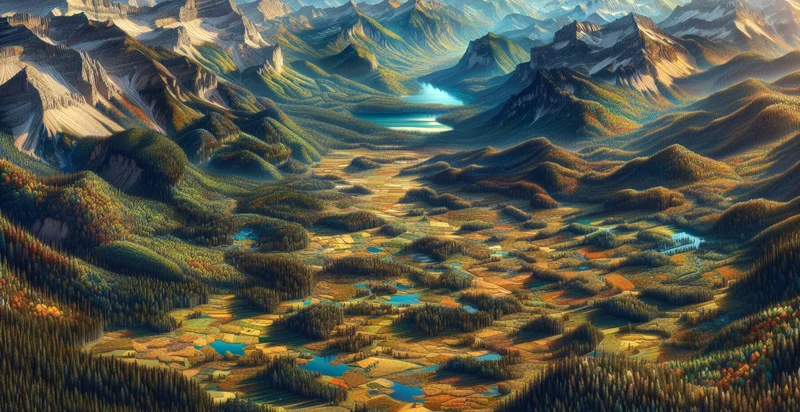
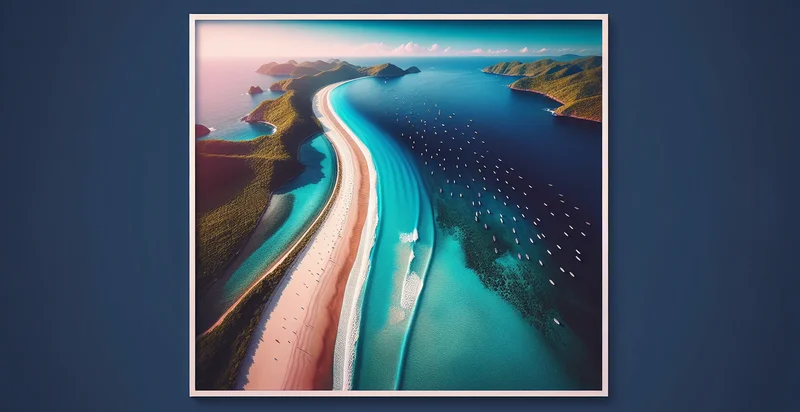
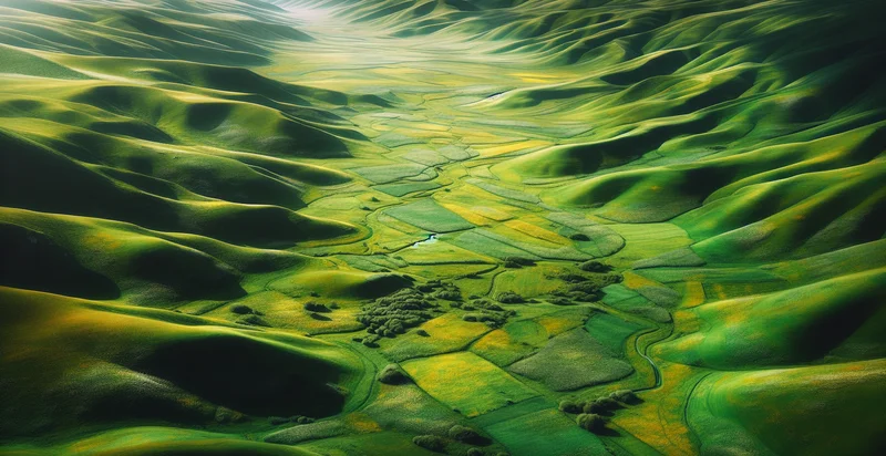
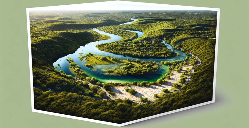
Below is a free classifier to identify aerial views of nature preserves. Just upload your image, and our AI will predict if the image contains an aerial view of a nature preserve - in just seconds.

Contact us for API access
Or, use Nyckel to build highly-accurate custom classifiers in just minutes. No PhD required.
Get started
    import nyckel

    credentials = nyckel.Credentials("YOUR_CLIENT_ID", "YOUR_CLIENT_SECRET")
    nyckel.invoke("aerial-views-of-nature-preserves", "your_image_url", credentials)
    fetch('https://www.nyckel.com/v1/functions/aerial-views-of-nature-preserves/invoke', {
        method: 'POST',
        headers: {
            'Authorization': 'Bearer ' + 'YOUR_BEARER_TOKEN',
            'Content-Type': 'application/json',
        },
        body: JSON.stringify(
            {"data": "your_image_url"}
        )
    })
    .then(response => response.json())
    .then(data => console.log(data));
    curl -X POST \
        -H "Content-Type: application/json" \
        -H "Authorization: Bearer YOUR_BEARER_TOKEN" \
        -d '{"data": "your_image_url"}' \
        https://www.nyckel.com/v1/functions/aerial-views-of-nature-preserves/invoke
How this classifier works
To start, upload your image. Our AI tool will then predict if the image contains an aerial view of a nature preserve.
This pretrained image model uses a Nyckel-created dataset and has 2 labels, including Nature and Urban.
We'll also show a confidence score (the higher the number, the more confident the AI model is around if the image contains an aerial view of a nature preserve).
Whether you're just curious or building aerial views of nature preserves detection into your application, we hope our classifier proves helpful.
Related Classifiers
Need to identify aerial views of nature preserves at scale?
Get API or Zapier access to this classifier for free. It's perfect for:
- Habitat Monitoring: The aerial view classification can be used to monitor habitats within nature preserves to identify the presence and health of specific ecosystems. By analyzing patterns in aerial imagery, conservationists can detect changes in vegetation and wildlife distributions over time for better resource management.
- Conservation Planning: The image classification function assists in planning conservation activities by identifying areas in need of intervention, such as regions with invasive species or environmental degradation. Accurate mapping of these areas enables targeted strategies to protect and restore ecosystems.
- Biodiversity Assessment: Organizations can utilize this function to assess biodiversity by classifying different land cover types and their respective flora and fauna. This informs conservation efforts and helps maintain ecosystem balance by quantifying species richness within the preserve.
- Environmental Impact Analysis: The aerial views can be used in assessing the environmental impact of human activities near nature preserves. By identifying changes in land use and habitat disruption, stakeholders can implement mitigation measures to preserve the ecological integrity of these areas.
- Research and Education: Educational institutions can leverage aerial classification for research projects and curricula focused on ecology and environmental science. Collecting and analyzing classified aerial data fosters a deeper understanding of natural ecosystems and their importance among students and researchers.
- Policy Development: Government agencies can utilize the classification of aerial views to inform policies aimed at environmental protection and sustainable development. By presenting accurate data on the condition and characteristics of nature preserves, policymakers can create more effective regulations and funding priorities.
- Community Engagement: This technology can enhance community engagement initiatives by providing visual data that showcases the significance of local nature preserves. By presenting classified aerial images in educational programs, communities can better appreciate their natural resources and become more involved in conservation efforts.


