Identify aerial views of mines
using AI
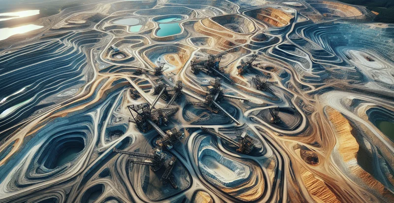
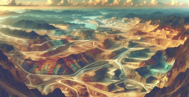
Below is a free classifier to identify aerial views of mines. Just upload your image, and our AI will predict if the image contains a mine or not - in just seconds.

Contact us for API access
Or, use Nyckel to build highly-accurate custom classifiers in just minutes. No PhD required.
Get started
    import nyckel

    credentials = nyckel.Credentials("YOUR_CLIENT_ID", "YOUR_CLIENT_SECRET")
    nyckel.invoke("aerial-views-of-mines", "your_image_url", credentials)
    fetch('https://www.nyckel.com/v1/functions/aerial-views-of-mines/invoke', {
        method: 'POST',
        headers: {
            'Authorization': 'Bearer ' + 'YOUR_BEARER_TOKEN',
            'Content-Type': 'application/json',
        },
        body: JSON.stringify(
            {"data": "your_image_url"}
        )
    })
    .then(response => response.json())
    .then(data => console.log(data));
    curl -X POST \
        -H "Content-Type: application/json" \
        -H "Authorization: Bearer YOUR_BEARER_TOKEN" \
        -d '{"data": "your_image_url"}' \
        https://www.nyckel.com/v1/functions/aerial-views-of-mines/invoke
How this classifier works
To start, upload your image. Our AI tool will then predict if the image contains a mine or not.
This pretrained image model uses a Nyckel-created dataset and has 2 labels, including Active Mines and Inactive Mines.
We'll also show a confidence score (the higher the number, the more confident the AI model is around if the image contains a mine or not).
Whether you're just curious or building aerial views of mines detection into your application, we hope our classifier proves helpful.
Related Classifiers
Need to identify aerial views of mines at scale?
Get API or Zapier access to this classifier for free. It's perfect for:
- Environmental Monitoring: Utilize aerial image classification to assess the environmental impact of mining activities. By analyzing land use changes, vegetation health, and water quality in mining regions, stakeholders can take informed actions to mitigate negative environmental effects.
- Resource Estimation: Implement image classification to identify and quantify visible land features associated with mineral deposits. This data can assist mining companies in evaluating resource availability, optimizing extraction processes, and improving economic forecasts.
- Safety Compliance: Employ aerial imagery analysis to monitor compliance with safety regulations at mining sites. By regularly assessing site conditions, companies can detect hazards such as slope instability or overcrowding, ensuring a safer working environment for employees.
- Land Rehabilitation Planning: Use classified aerial images to plan land rehabilitation efforts post-mining. By identifying disturbed areas and assessing vegetation regrowth, companies can develop targeted restoration strategies that support biodiversity and meet regulatory requirements.
- Asset Management: Implement aerial image classification to monitor and manage mining infrastructure, such as roads and equipment. By tracking the condition of assets through aerial surveys, companies can optimize maintenance schedules and reduce operational downtime.
- Stakeholder Engagement: Leverage aerial image classification to create visual reports for stakeholders, including investors and local communities. By providing clear and accurate representations of mining operations and their impacts, companies can enhance transparency and trust.
- Disaster Preparedness: Use aerial imagery analysis to evaluate the risk of natural disasters, such as landslides or flooding, in mining areas. This proactive approach allows companies to develop contingency plans and minimize the potential impact on operations and local communities.


