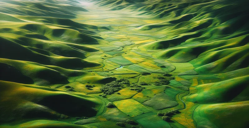
Identify aerial views of meadows
using AI
Below is a free classifier to identify aerial views of meadows. Just upload your image, and our AI will predict if the image shows an aerial view of a meadow or not - in just seconds.

Contact us for API access
Or, use Nyckel to build highly-accurate custom classifiers in just minutes. No PhD required.
Get started
    import nyckel

    credentials = nyckel.Credentials("YOUR_CLIENT_ID", "YOUR_CLIENT_SECRET")
    nyckel.invoke("aerial-views-of-meadows", "your_image_url", credentials)
    fetch('https://www.nyckel.com/v1/functions/aerial-views-of-meadows/invoke', {
        method: 'POST',
        headers: {
            'Authorization': 'Bearer ' + 'YOUR_BEARER_TOKEN',
            'Content-Type': 'application/json',
        },
        body: JSON.stringify(
            {"data": "your_image_url"}
        )
    })
    .then(response => response.json())
    .then(data => console.log(data));
    curl -X POST \
        -H "Content-Type: application/json" \
        -H "Authorization: Bearer YOUR_BEARER_TOKEN" \
        -d '{"data": "your_image_url"}' \
        https://www.nyckel.com/v1/functions/aerial-views-of-meadows/invoke
How this classifier works
To start, upload your image. Our AI tool will then predict if the image shows an aerial view of a meadow or not.
This pretrained image model uses a Nyckel-created dataset and has 2 labels, including Barren Lands and Green Meadows.
We'll also show a confidence score (the higher the number, the more confident the AI model is around if the image shows an aerial view of a meadow or not).
Whether you're just curious or building aerial views of meadows detection into your application, we hope our classifier proves helpful.
Related Classifiers
Need to identify aerial views of meadows at scale?
Get API or Zapier access to this classifier for free. It's perfect for:
- Agricultural Monitoring: Aerial views of meadows can be used to assess crop health and detect anomalies. By identifying the extent of meadow areas, agricultural businesses can optimize their irrigation and pesticide application strategies, ultimately leading to improved yields.
- Environmental Conservation: The identifier can assist environmental organizations in monitoring meadow ecosystems. By analyzing aerial images, they can track changes in vegetation cover, assess biodiversity, and implement conservation strategies to protect these crucial habitats.
- Land Use Planning: Urban planners can utilize aerial meadow identification to evaluate land use changes and plan for sustainable development. This data can help in zoning decisions and the integration of green spaces into urban environments, promoting ecological balance.
- Wildlife Habitat Assessment: Researchers can use the function to identify meadows as critical habitats for various species. By understanding the distribution of these habitats, conservationists can develop targeted efforts to protect endangered species and maintain biodiversity.
- Climate Change Studies: Climate scientists can analyze shifts in meadow areas over time to study the impacts of climate change. The identification of these landscapes allows for research into carbon sequestration potentials and the ecological effects of changing climate variables.
- Tourism Development: Businesses in the tourism sector can leverage meadow identification for marketing and developing nature-based tourism. By showcasing scenic meadow views, they can attract visitors interested in hiking, photography, and eco-tourism experiences.
- Insurance Underwriting: Insurance companies can use aerial meadow identification to assess risks for properties adjacent to meadows. Understanding the geography and vegetation cover can help in determining potential liabilities related to flooding, fire hazards, or agricultural disruptions.


