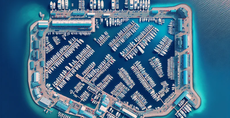
Identify aerial views of marinas
using AI
Below is a free classifier to identify aerial views of marinas. Just upload your image, and our AI will predict if it's a marina or not - in just seconds.

Contact us for API access
Or, use Nyckel to build highly-accurate custom classifiers in just minutes. No PhD required.
Get started
    import nyckel

    credentials = nyckel.Credentials("YOUR_CLIENT_ID", "YOUR_CLIENT_SECRET")
    nyckel.invoke("aerial-views-of-marinas", "your_image_url", credentials)
    fetch('https://www.nyckel.com/v1/functions/aerial-views-of-marinas/invoke', {
        method: 'POST',
        headers: {
            'Authorization': 'Bearer ' + 'YOUR_BEARER_TOKEN',
            'Content-Type': 'application/json',
        },
        body: JSON.stringify(
            {"data": "your_image_url"}
        )
    })
    .then(response => response.json())
    .then(data => console.log(data));
    curl -X POST \
        -H "Content-Type: application/json" \
        -H "Authorization: Bearer YOUR_BEARER_TOKEN" \
        -d '{"data": "your_image_url"}' \
        https://www.nyckel.com/v1/functions/aerial-views-of-marinas/invoke
How this classifier works
To start, upload your image. Our AI tool will then predict if it's a marina or not.
This pretrained image model uses a Nyckel-created dataset and has 2 labels, including With Boats and Without Boats.
We'll also show a confidence score (the higher the number, the more confident the AI model is around if it's a marina or not).
Whether you're just curious or building aerial views of marinas detection into your application, we hope our classifier proves helpful.
Related Classifiers
Need to identify aerial views of marinas at scale?
Get API or Zapier access to this classifier for free. It's perfect for:
- Marina Utilization Analysis: This use case involves analyzing aerial views of marinas to assess their utilization rates. By identifying the number of boats and the available dock space, marina operators can optimize their resources and improve customer service.
- Environmental Impact Assessment: Aerial imagery can be used to assess the environmental impact of marinas on local ecosystems. This use case provides insights into water quality, vegetation health, and shoreline stability, helping stakeholders make informed decisions on environmental conservation.
- Insurance Risk Assessment: Insurance companies can leverage aerial views of marinas to evaluate risks associated with insuring properties and vessels. The detailed imagery can help in assessing flood risks, storm damage potential, and overall safety of the marina infrastructure.
- Marketing and Promotion: Marinas can use aerial views to enhance their marketing efforts. By showcasing appealing aspects of the marina from above, they can attract potential customers looking for a scenic and well-maintained docking experience.
- Infrastructure Development Planning: City planners and marina developers can utilize aerial classification to identify areas for potential expansion or improvement. This visual data helps plan for new docks, facilities, and amenities, ensuring that development aligns with spatial constraints.
- Compliance and Monitoring: Regulatory agencies can benefit from aerial imagery to monitor marina compliance with zoning laws and environmental regulations. This usage ensures that marinas are adhering to guidelines, minimizing illegal construction or harmful practices.
- Tourism and Economic Development: Local governments can analyze aerial views of marinas to support tourism initiatives and economic development strategies. By understanding marina capacity and visitor traffic patterns, they can promote local businesses and enhance the overall tourism experience.


