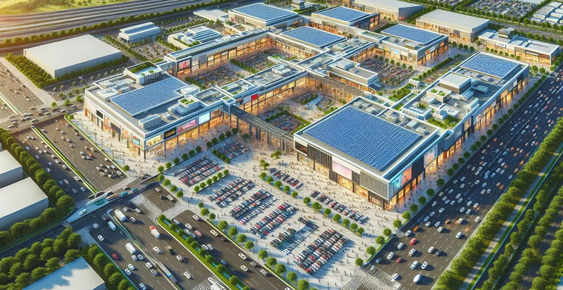
Identify aerial views of malls
using AI
Below is a free classifier to identify aerial views of malls. Just upload your image, and our AI will predict if the image shows an aerial view of a mall or not - in just seconds.

Contact us for API access
Or, use Nyckel to build highly-accurate custom classifiers in just minutes. No PhD required.
Get started
    import nyckel

    credentials = nyckel.Credentials("YOUR_CLIENT_ID", "YOUR_CLIENT_SECRET")
    nyckel.invoke("aerial-views-of-malls", "your_image_url", credentials)
    fetch('https://www.nyckel.com/v1/functions/aerial-views-of-malls/invoke', {
        method: 'POST',
        headers: {
            'Authorization': 'Bearer ' + 'YOUR_BEARER_TOKEN',
            'Content-Type': 'application/json',
        },
        body: JSON.stringify(
            {"data": "your_image_url"}
        )
    })
    .then(response => response.json())
    .then(data => console.log(data));
    curl -X POST \
        -H "Content-Type: application/json" \
        -H "Authorization: Bearer YOUR_BEARER_TOKEN" \
        -d '{"data": "your_image_url"}' \
        https://www.nyckel.com/v1/functions/aerial-views-of-malls/invoke
How this classifier works
To start, upload your image. Our AI tool will then predict if the image shows an aerial view of a mall or not.
This pretrained image model uses a Nyckel-created dataset and has 2 labels, including Empty Parking Lot and Shopping Mall.
We'll also show a confidence score (the higher the number, the more confident the AI model is around if the image shows an aerial view of a mall or not).
Whether you're just curious or building aerial views of malls detection into your application, we hope our classifier proves helpful.
Related Classifiers
Need to identify aerial views of malls at scale?
Get API or Zapier access to this classifier for free. It's perfect for:
- Mall Foot Traffic Analysis: This function can help retailers understand foot traffic patterns by analyzing aerial views of malls over time. By identifying busy periods and popular entrances, mall management can optimize staffing and improve customer experience.
- Marketing Strategy Development: Aerial image classification can be leveraged in developing targeted marketing strategies based on the size, layout, and accessibility of malls. Marketers can identify which mall locations have the highest potential for certain retail demographics, informing advertising efforts and promotional campaigns.
- Security Planning: By analyzing aerial views, security personnel can assess and enhance surveillance strategies for mall properties. This identification enables the planning of more effective security camera placements and emergency exit strategies to ensure consumer safety.
- Real Estate Development: Developers can use this classification function to identify suitable locations for new mall constructions or expansions. Aerial views allow for the assessment of surrounding infrastructure and accessibility, informing investment decisions.
- Competitive Analysis: Retailers can leverage aerial imagery to analyze competing malls’ structures, layouts, and anchor tenants. This identification helps businesses to adapt their offerings and develop strategies to compete effectively in the local market.
- Urban Planning: City planners can utilize aerial classification data to assess the impact of malls on local traffic patterns and urban development. This analysis informs zoning decisions, public transportation needs, and future infrastructure projects.
- Environmental Impact Assessments: Aerial views can facilitate evaluations of the environmental impact of malls on their surroundings. By identifying green spaces, water bodies, and air quality zones, stakeholders can better understand and mitigate the ecological footprint of retail developments.


