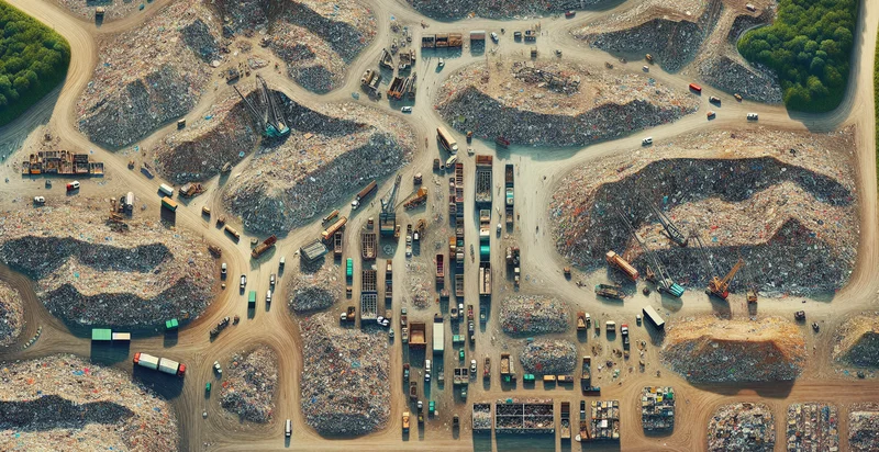
Identify aerial views of landfills
using AI
Below is a free classifier to identify aerial views of landfills. Just upload your image, and our AI will predict if the image is of a landfill or not - in just seconds.


Contact us for API access
Or, use Nyckel to build highly-accurate custom classifiers in just minutes. No PhD required.
Get started
    import nyckel

    credentials = nyckel.Credentials("YOUR_CLIENT_ID", "YOUR_CLIENT_SECRET")
    nyckel.invoke("aerial-views-of-landfills", "your_image_url", credentials)
    fetch('https://www.nyckel.com/v1/functions/aerial-views-of-landfills/invoke', {
        method: 'POST',
        headers: {
            'Authorization': 'Bearer ' + 'YOUR_BEARER_TOKEN',
            'Content-Type': 'application/json',
        },
        body: JSON.stringify(
            {"data": "your_image_url"}
        )
    })
    .then(response => response.json())
    .then(data => console.log(data));
    curl -X POST \
        -H "Content-Type: application/json" \
        -H "Authorization: Bearer YOUR_BEARER_TOKEN" \
        -d '{"data": "your_image_url"}' \
        https://www.nyckel.com/v1/functions/aerial-views-of-landfills/invoke
How this classifier works
To start, upload your image. Our AI tool will then predict if the image is of a landfill or not.
This pretrained image model uses a Nyckel-created dataset and has 2 labels, including Clean Landfill and Messy Landfill.
We'll also show a confidence score (the higher the number, the more confident the AI model is around if the image is of a landfill or not).
Whether you're just curious or building aerial views of landfills detection into your application, we hope our classifier proves helpful.
Related Classifiers
Need to identify aerial views of landfills at scale?
Get API or Zapier access to this classifier for free. It's perfect for:
- Waste Management Optimization: This function can be used by waste management companies to systematically identify and map landfill locations, helping them to optimize collection routes and landfill usage. By analyzing aerial views, companies can make data-driven decisions about resource allocation and operational efficiency.
- Environmental Monitoring: Environmental agencies can utilize the landfill identification function to monitor the expansion and environmental impact of landfills over time. This can inform policy decisions, regulatory compliance, and efforts toward reducing overall waste production.
- Urban Planning and Development: City planners can leverage the aerial view classification to assess the proximity of landfills to urban areas, guiding future urban development projects. This information is critical for mitigating health risks and ensuring sustainable land use.
- Disaster Response and Recovery: In the aftermath of disasters, responders can use this function to identify landfills that may be impacted or need to be managed for debris disposal. Quick identification helps in coordinating cleanup efforts and ensuring hazardous materials are handled properly.
- Public Awareness Campaigns: Non-profits and advocacy groups can use the function to create visual evidence of landfill impacts on communities, helping to raise public awareness about waste management issues. This insight can drive campaigns aimed at reducing waste generation and increasing recycling.
- Land Lease and Acquisition Analysis: Real estate developers can utilize this function to identify potential land acquisitions near landfills, assessing their impact on property value and marketability. Understanding proximity to landfills can inform investment decisions and risk management strategies.
- Research and Development in Recycling Technologies: Researchers can apply the aerial classification to study the characteristics and patterns of existing landfills, paving the way for innovation in recycling and waste reduction technologies. This foundational data enhances the ability to design effective solutions in waste management practices.


